
Lord Flat Trail (Warnock Corral to Lord Flat)
Hat Point / Hells Canyon, Wallowa County, Oregon
Seasonal 4x4 ridge track along the rim of Hells Canyon to a backcountry airstrip
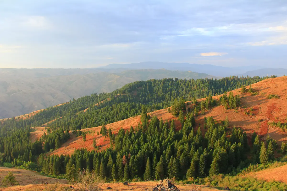
Photo: Representative photo, not this location (mypubliclands / Public domain / Wikimedia Commons)
Nav gets you to the trailhead. On the trail, Follow trail shows the line and where you are on it — road directions don't work on dirt trails.
The line joins the trail's waypoints in straight lines — it shows the general route, not every turn.
Past the end of Hat Point Road at Warnock Corral, the Summit Ridge / Western Rim route continues north as a motorized trail along the western rim of Hells Canyon to Lord Flat, passing Mormon Flat and the Dorrance Cow Camp. The bumpy two-track has huge views over the Snake River gorge to the Seven Devils and is manageable for a stock 4x4. It is open to vehicles only for a short window: the gate is locked from three days before archery season through the last elk season, and north of Lord Flat the route is closed to motors.
Waypoints
- 1Warnock Corral Trailhead
USFS coordinates; end of Hat Point Road (about 26 miles from Imnaha) and the gate for the motorized section.
45.48272, -116.64931
- 2Mormon Flat
GNIS flat via TopoQuest, 5,823 ft, on the ridge north of Warnock.
45.63016, -116.62320
- 3Dorrance Cow Camp
GNIS locale via TopoQuest, 5,833 ft; historic cow camp and cabin.
45.64377, -116.60014
- 4Lord Flat
GNIS flat via TopoQuest, 5,738 ft.
45.65988, -116.60876
- 5Lord Flat Airstrip
Lord Flat USFS Airport (OR9) from SkyVector (N45°39.99' W116°37.10'); keep vehicles clear of the runway. Route is closed to motors beyond here.
45.66650, -116.61830