
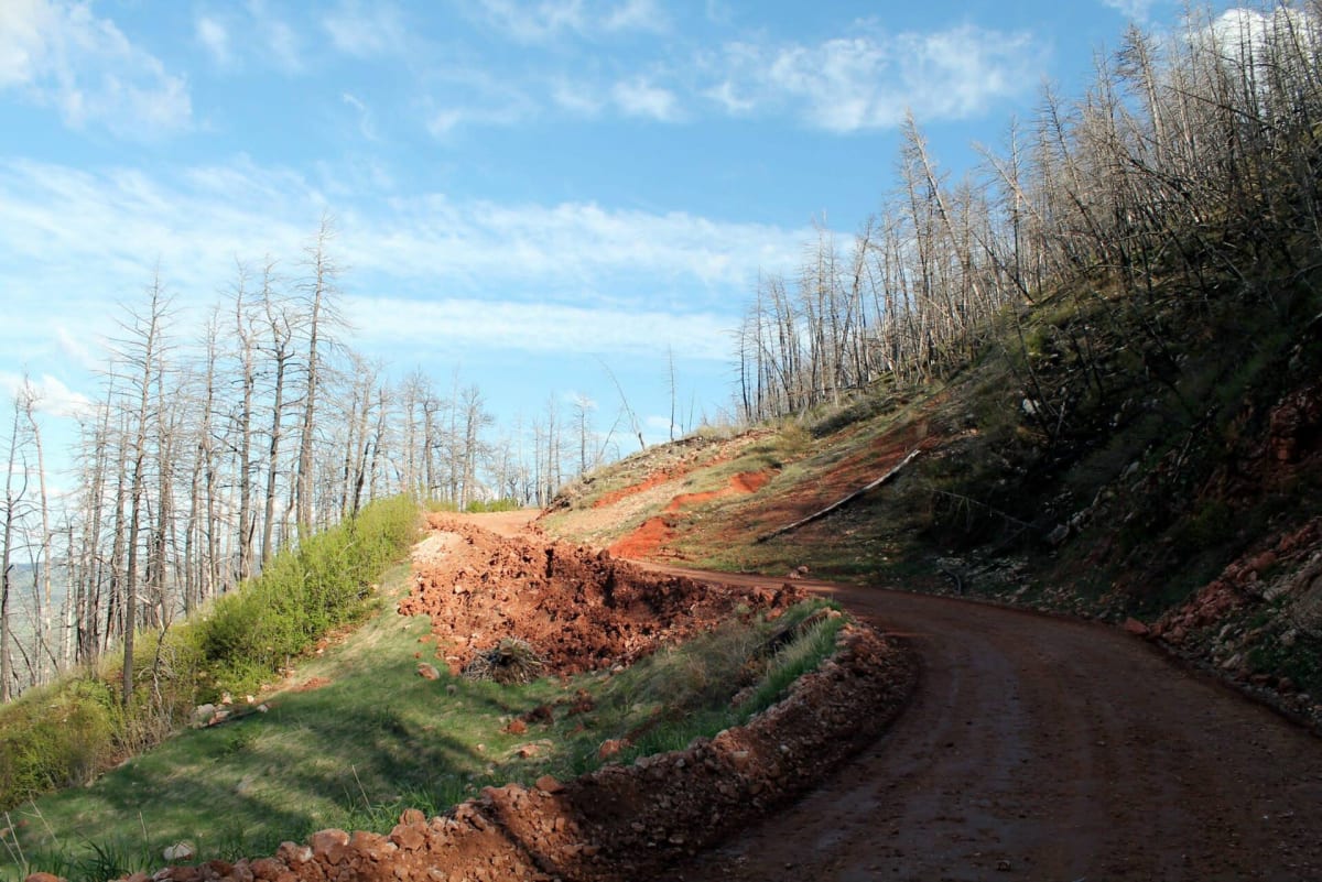
Red Grade Road
Big Horn / Sheridan, Wyoming
Steep, rocky climb from Big Horn onto the Bighorn high country
Photo: Milonica / CC BY 4.0 / Wikimedia Commons
Nav gets you to the trailhead. On the trail, Follow trail shows the line and where you are on it — road directions don't work on dirt trails.
The line joins the trail's waypoints in straight lines — it shows the general route, not every turn.
Sheridan County Route 26 leaves the town of Big Horn and claws its way up the east face of the Bighorns, gaining thousands of feet on steep, guardrail-free grades studded with loose gravel and protruding rock before topping out near 9,350 ft. Up top it smooths into gravel past lakes, meadows and Cloud Peak Wilderness views before meeting US-14. It is a scenic route rather than a rock crawl, but the climb rewards high clearance and careful braking on the way down.
Waypoints
- 1Red Grade Road lower end near Big Horn
Route waypoint 4 of the dangerousroads.org embedded route map, at the Big Horn end of County Route 26.
44.65093, -107.01477
- 2Red Grade climb
Point from the first dangerousroads.org map embed on the steep east-face climb; views over the Powder River Basin.
44.61747, -107.07700
- 3Bighorn high country
Route waypoint 3 of the dangerousroads.org embedded map, on the smoother gravel section up top.
44.62944, -107.34507
- 4East Fork South Tongue River section
Route waypoint 2 of the dangerousroads.org embedded map; onX notes the road parallels the East Fork South Tongue River near the end.
44.71596, -107.45694
- 5US-14 junction
Route waypoint 1 of the dangerousroads.org embedded map, where the road meets US-14.
44.70340, -107.49797