
Strzelecki Track
Far North, South Australia, Australia
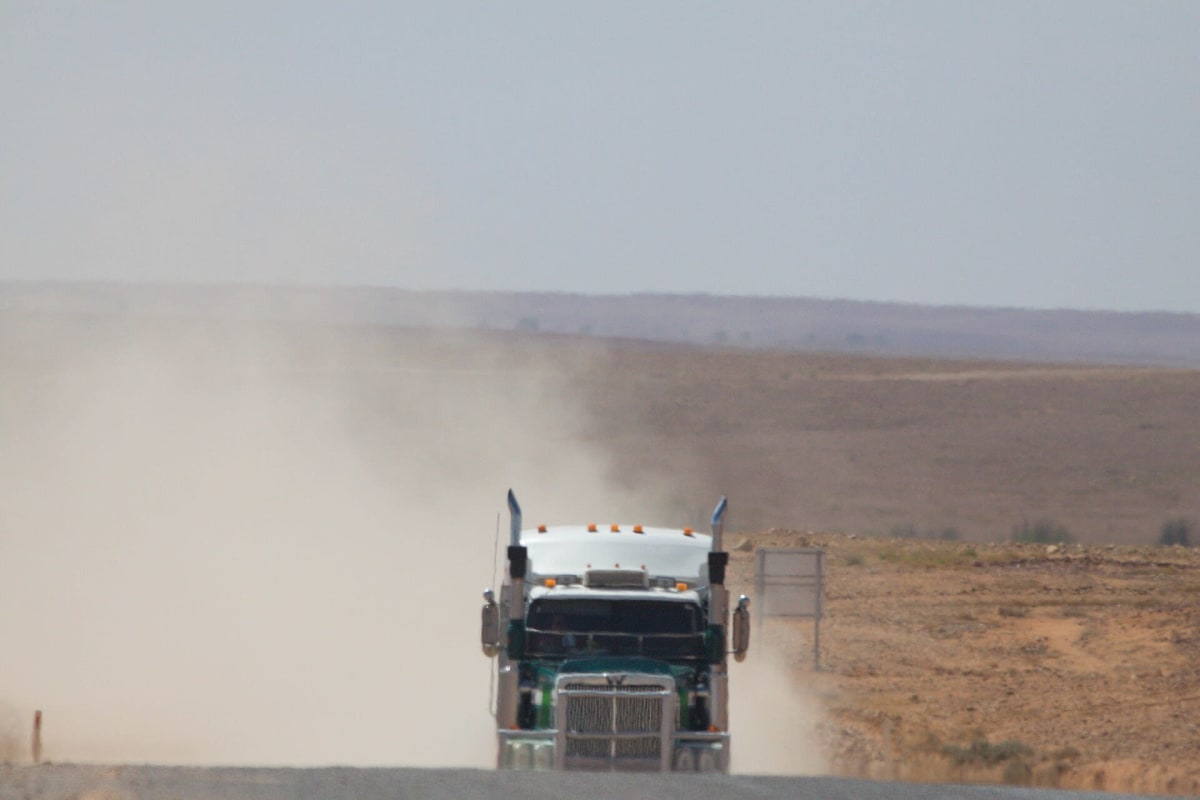
Corrugated gibber and sandhill road from the Flinders to Innamincka
Photo: Ron Knight / CC BY 2.0 / Wikimedia Commons
Nav gets you to the trailhead. On the trail, Follow trail shows the line and where you are on it — road directions don't work on dirt trails.
The line joins the trail's waypoints in straight lines — it shows the general route, not every turn.
A 472 km mostly unsealed outback road running from Lyndhurst at the foot of the northern Flinders Ranges up through the Strzelecki Desert and the Cooper Basin gas fields to the tiny town of Innamincka on Cooper Creek. Usually dry-weather passable for any well-prepared vehicle, but it floods after heavy rain and can be badly corrugated with loose stone and dust. Fuel only at Lyndhurst and Innamincka (with Cameron Corner a detour away).
Waypoints
- 1Lyndhurst (Outback Highway junction)
Southwest terminus; coordinates from the Wikipedia Strzelecki Track infobox. Last fuel heading north.
-30.28766, 138.34938
- 2Moomba gas field
Coordinates from Wikipedia Moomba page. The Santos facility is closed to the public with no traveller services; the shorter public access road to Innamincka runs past it.
-28.10838, 140.20289
- 3Innamincka (Cordillo Downs Road junction)
Northeast terminus; coordinates from the Wikipedia Strzelecki Track infobox. Fuel and supplies at Innamincka.
-27.74738, 140.73614