
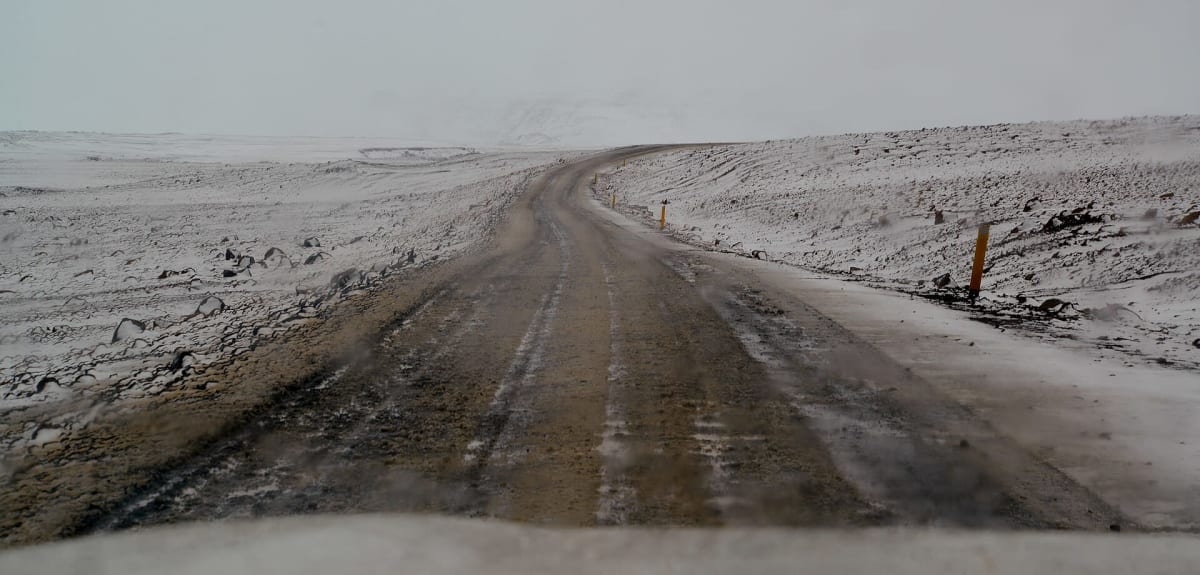
Kaldidalur (Route 550)
Western Highlands, Iceland
Iceland's shortest highland crossing, between glaciers
Photo: Barry Marsh from London, England / Public domain / Wikimedia Commons
Nav gets you to the trailhead. On the trail, Follow trail shows the line and where you are on it — road directions don't work on dirt trails.
The line joins the trail's waypoints in straight lines — it shows the general route, not every turn.
Kaldadalsvegur is a 40 km unpaved highland road from the Þingvellir area north to Húsafell. It passes between the remains of Okjökull and the Þórisjökull and Langjökull ice caps and peaks at about 720 m. The road began in the 1830s as a horse track and is one of Iceland's oldest permanent routes. It is no longer an F-road and has no unbridged rivers, but its rough sections have potholes and loose stones, which makes it a good first highland drive.
Waypoints
- 1Route 550 south end (Þingvellir side)
Southernmost point on the route map embedded in the dangerousroads.org Route 550 page, which names Þingvellir as the southern start. Calling it the south end is my inference from its position.
64.44017, -20.96551
- 2Kaldidalur mid-route
Middle point on the dangerousroads.org Route 550 route map.
64.57156, -20.81350
- 3Okjökull
Former glacier on Ok volcano, west of the road. This is the glacier's coordinate (not a spot on the road), from the Wikipedia page for Okjökull.
64.59800, -20.88100
- 4Route 550 north end (Húsafell side)
Northernmost point on the dangerousroads.org Route 550 route map, which names Húsafell as the northern end. Calling it the north end is my inference from its position.
64.71335, -20.83255