
All trails
Moderate · 5/10
Mosquito Pass
Alma / Leadville, Colorado
One of the highest drivable passes in North America, at about 13,185 ft.
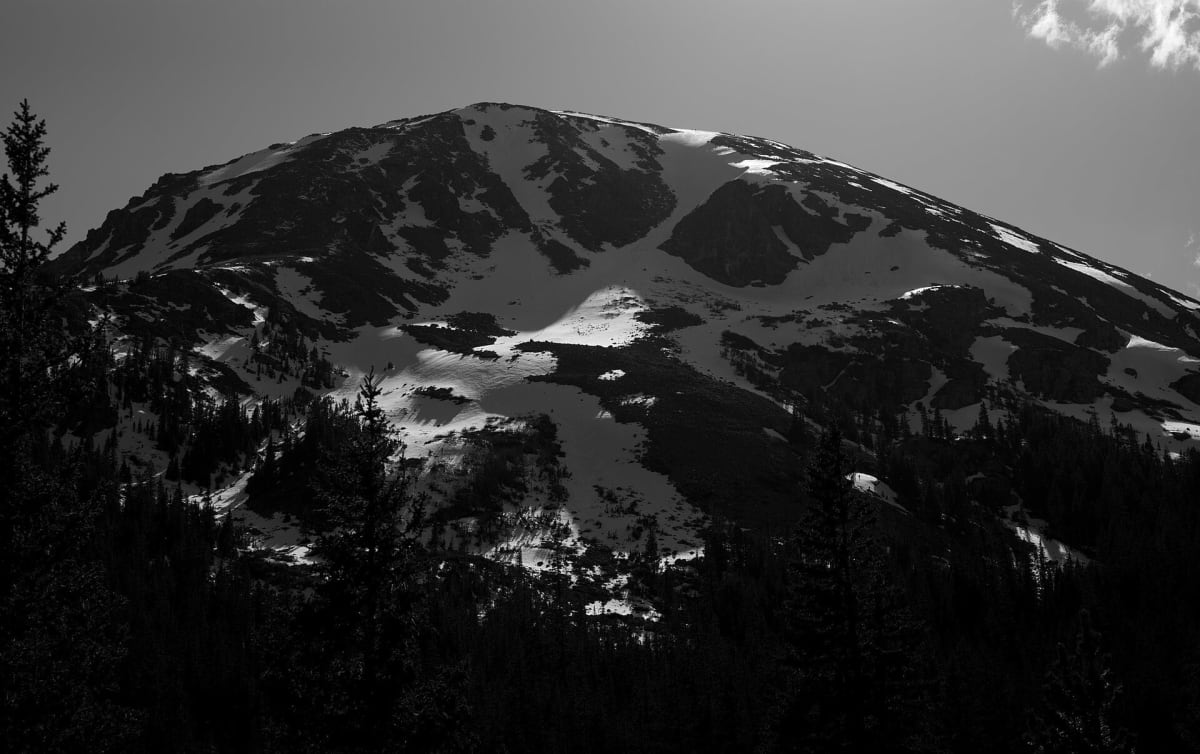
Photo: 420 Photography / CC0 / Wikimedia Commons
Nav gets you to the trailhead. On the trail, Follow trail shows the line and where you are on it — road directions don't work on dirt trails.
Length
17 mi
Time
2.5 hr
Difficulty
5/10 · Moderate
Managed by
Pike and San Isabel national forests
Trail line © OpenStreetMap contributors (ODbL).
Mosquito Pass connects Alma and Leadville over the Mosquito Range at around 13,185 ft, one of the highest roads you can drive in the country. The approach from the Alma side is rocky with a few steep, loose pitches near the summit, and late snowdrifts often keep it closed until well into summer.
Waypoints
- 1Start of Mosquito Pass Road
39.25246, -106.27938
- 2Mosquito Pass Road, about 4 mi in
39.26534, -106.21549
- 3Mosquito Pass Road, about 8 mi in
39.28931, -106.16368
- 4Mosquito Pass Road, about 12 mi in
39.27713, -106.11443
- 5End of Mosquito Pass Road
39.27048, -106.04732