
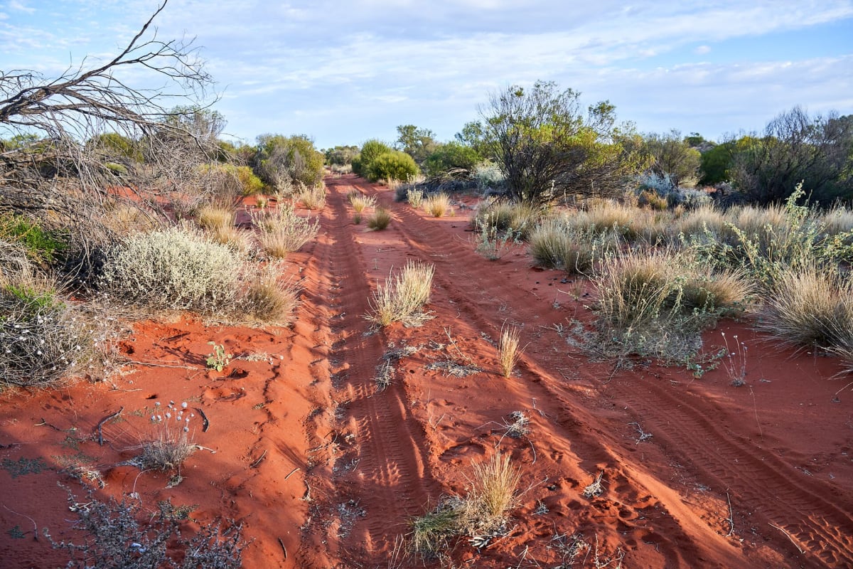
Anne Beadell Highway
Great Victoria Desert, South Australia to Western Australia, Australia
Five-day dune-crossing track from Coober Pedy to Laverton
Photo: Timfroling / CC BY-SA 4.0 / Wikimedia Commons
Nav gets you to the trailhead. On the trail, Follow trail shows the line and where you are on it — road directions don't work on dirt trails.
The line joins the trail's waypoints in straight lines — it shows the general route, not every turn.
Another Len Beadell road, this unsignposted 1,325 km track crosses the Great Victoria Desert from Coober Pedy to Laverton over endless sand dunes, passing the former British atomic test site at Emu Field. There are no settlements on the route; the only fuel is at Ilkurlka, leaving about 780 km without resupply to Coober Pedy. Suited only to experienced, well-provisioned four-wheel drivers.
Waypoints
- 1Coober Pedy (Stuart Highway)
East terminus coordinates from Wikipedia Anne Beadell Highway infobox.
-29.01912, 134.72184
- 2Ilkurlka Roadhouse
Only fuel on the route; junction with the Madura Loongana Track, 167 km west of the SA border. Coordinates from Wikipedia Anne Beadell Highway page.
-28.35041, 127.51803
- 3Laverton (Laverton–Leonora Road)
West terminus coordinates from Wikipedia Anne Beadell Highway infobox.
-28.62117, 122.41849