
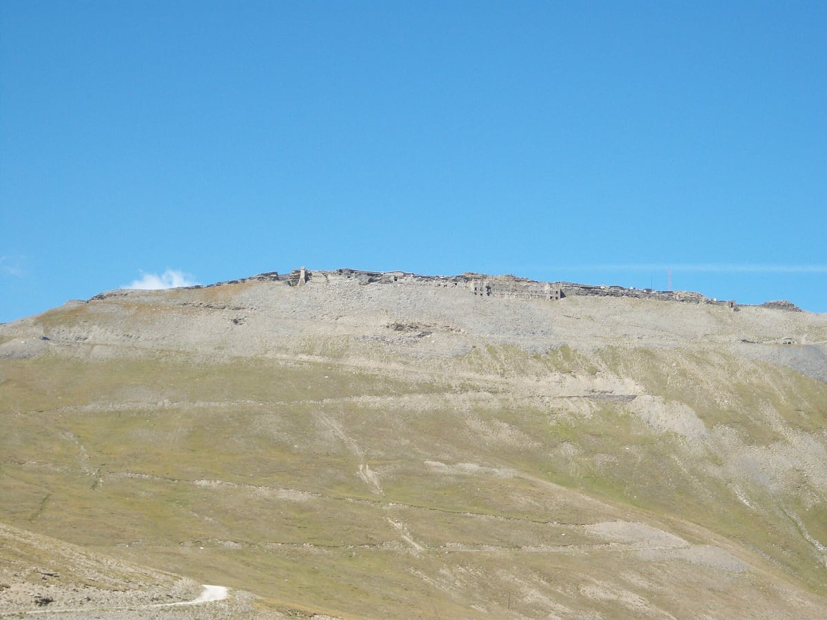
Strada militare del Jafferau (Via dei Saraceni)
Upper Susa Valley, Cottian Alps, Piedmont, Italy
1880s fort road with a 900 m unlit tunnel up to 2,800 m
Photo: Gigillo83 / Public domain / Wikimedia Commons
Nav gets you to the trailhead. On the trail, Follow trail shows the line and where you are on it — road directions don't work on dirt trails.
The line joins the trail's waypoints in straight lines — it shows the general route, not every turn.
Military road no. 79 leaves the Susa valley above Salbertrand and climbs more than 1,700 m on gravel to Colletto Pramand. From there it passes through the Galleria del Seguret (dei Saraceni), a tunnel of nearly 900 m with no lights, then runs on to the ruined Forte Jafferau near 2,800 m. A rougher post-war track then drops toward Bardonecchia. The tunnel was closed for years because of collapse risk and has reopened after repair work paid for by the local communes.
Waypoints
- 1Salbertrand
Village at 1,032 m. The dirt road leaves the SS24 just above it, via Fenil and Montcellier. Coordinate from the Salbertrand Wikipedia article.
45.07222, 6.88417
- 2Colletto Pramand
Saddle at about 2,087–2,145 m, a few metres from the Galleria dei Saraceni portal. Coordinate is the labelled location (45°03'53.5"N 6°50'30.0"E) on the dangerousroads.org Colletto Pramand page.
45.06486, 6.84168
- 3Forte Jafferau
Summit fort at about 2,800 m. Coordinate from aroundus.com Forte Jafferau listing; matches the DR Jafferau map embed (45.0865207, 6.7679249).
45.08453, 6.76828
- 4Bardonecchia
Town at 1,312 m; the descent reaches asphalt at Millaures above the town. Coordinate is Wikipedia's 45°5′N 6°42′E (Wikiwand), which is coarse.
45.08300, 6.70000