
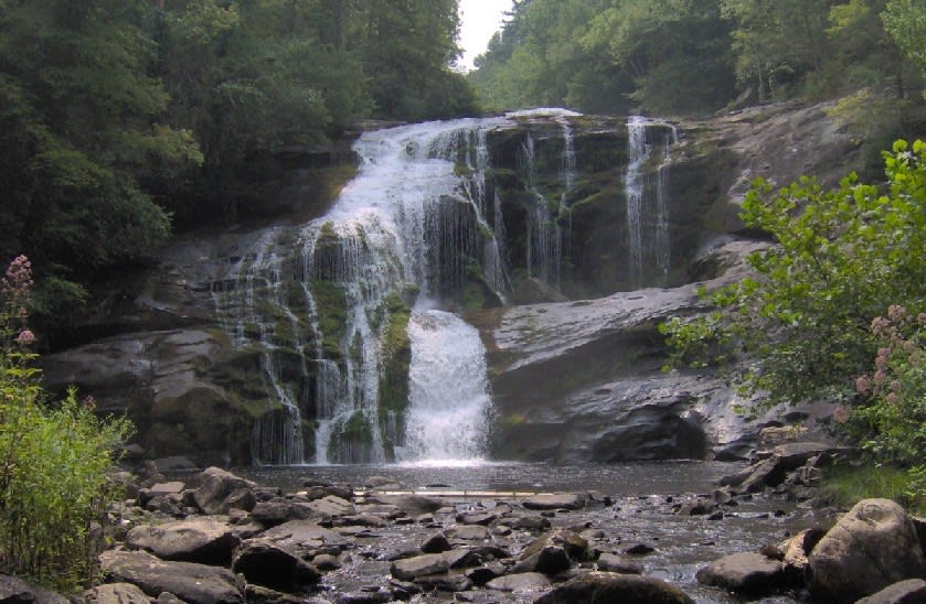
Tellico River Road (FR 210)
Tellico Plains, Tennessee
Narrow riverside Forest Service road deep into the Tellico backcountry
Photo: Brian Stansberry / CC BY 3.0 / Wikimedia Commons
Nav gets you to the trailhead. On the trail, Follow trail shows the line and where you are on it — road directions don't work on dirt trails.
The line joins the trail's waypoints in straight lines — it shows the general route, not every turn.
A winding, narrow Forest Service road that follows the Tellico River gorge up from TN 165 past Bald River Falls and a chain of small primitive campgrounds toward the North Carolina line. Side trips include the gravel North River Road, which loops up to the Cherohala Skyway, and Bald River Road to Holly Flats. It's an easy drive, but Bald River Falls draws heavy weekend crowds.
Waypoints
- 1Dam Creek Picnic Area
35.31040, -84.12130
- 2Davis Branch Campground
35.27890, -84.09640
- 3Holder Cove Campground
35.26820, -84.08490
- 4Big Oak Cove Campground
35.26430, -84.08680