
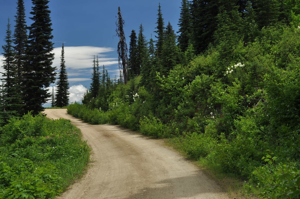
Lolo Motorway (Forest Road 500)
Powell / Kamiah, north-central Idaho, Idaho
CCC-built ridge road on Lewis & Clark's Lolo Trail
Photo: Forest Service Northern Region from Missoula, MT, USA / Public domain / Wikimedia Commons
Nav gets you to the trailhead. On the trail, Follow trail shows the line and where you are on it — road directions don't work on dirt trails.
The line joins the trail's waypoints in straight lines — it shows the general route, not every turn.
Built by the Civilian Conservation Corps in the 1930s, the Lolo Motorway follows high ridges between the Lochsa and North Fork Clearwater drainages, roughly tracing the Nez Perce and Lewis & Clark route over the Bitterroots. It is a single-lane, rough, narrow dirt road topping out near Indian Postoffice at about 7,000 ft. There is no fuel, water or services and little cell coverage, so plan to be fully self-sufficient for a long day or an overnight.
Waypoints
- 1Lolo Motorway East Portal
Labelled 'Lolo Motor Way - East Portal' in the embedded route map on dangerousroads.org. Reached from the Powell area via FS Road 569 (Parachute Hill Road) per USFS.
46.59322, -114.61445
- 2Ridge route point (map waypoint 3)
Waypoint 3 of the dangerousroads.org embedded route map along FR 500.
46.58172, -114.80321
- 3Ridge route point (map waypoint 5)
Waypoint 5 of the dangerousroads.org embedded route map along FR 500.
46.46319, -115.18169
- 4Ridge route point (map waypoint 7)
Waypoint 7 of the dangerousroads.org embedded route map along FR 500.
46.41294, -115.55786
- 5Lolo Motorway west end
Final waypoint (10) of the dangerousroads.org embedded route map; continue toward Kamiah via Forest Road 100 per USFS.
46.29493, -115.74907