
Magruder Corridor
Bitterroot / Nez Perce national forests, Idaho
A 100-mile primitive road between two of the largest wildernesses in the lower 48.
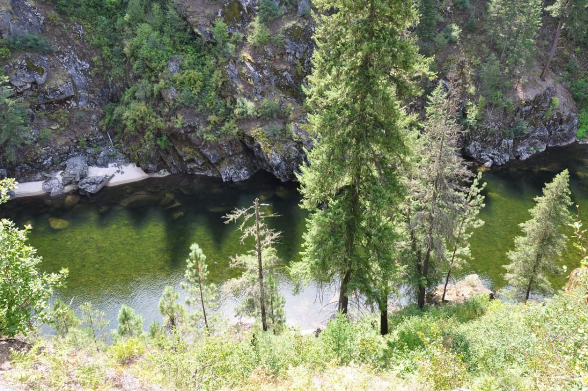
Photo: Representative photo, not this location (araddon / CC BY 2.0 / Wikimedia Commons)
Nav gets you to the trailhead. On the trail, Follow trail shows the line and where you are on it — road directions don't work on dirt trails.
Trail line © OpenStreetMap contributors (ODbL).
The Magruder Corridor Road runs about 100 miles between the Selway-Bitterroot and Frank Church–River of No Return wildernesses, following a historic route across remote ridges between Idaho and Montana. It is a primitive one-lane road with few services, usually driven over one or two days.
Waypoints
- 1Start of Magruder Corridor Road
45.71716, -114.50293
- 2Magruder Corridor Road, about 19 mi in
45.73339, -114.76301
- 3Magruder Corridor Road, about 39 mi in
45.63520, -114.92621
- 4Magruder Corridor Road, about 58 mi in
45.73216, -115.08557
- 5End of Magruder Corridor Road
45.70624, -115.34317