
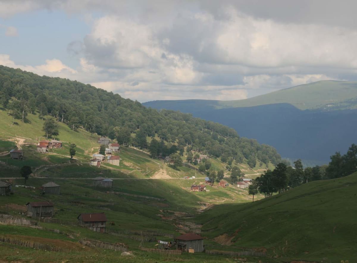
Goderdzi Pass (Khulo–Akhaltsikhe)
Adjara – Samtskhe-Javakheti, Georgia
Upper Adjara's rough link over the Lesser Caucasus
Photo: Aleksey Muhranoff / CC BY-SA 3.0 / Wikimedia Commons
Nav gets you to the trailhead. On the trail, Follow trail shows the line and where you are on it — road directions don't work on dirt trails.
The line joins the trail's waypoints in straight lines — it shows the general route, not every turn.
The Batumi–Akhaltsikhe road crosses Goderdzi Pass (2,027 m) between Khulo in Upper Adjara and Akhaltsikhe in Samtskhe-Javakheti. Over 79 km it climbs past waterfalls and alpine meadows to a summit with hotels, cafés and a small mosque. Much of the surface is still unpaved, and landslides and cattle on the road are common. Any vehicle may use it, but high-clearance 4WD is strongly recommended.
Waypoints
- 1Khulo
dangerousroads.org route point labelled Khulo.
41.64610, 42.31110
- 2Route point below the pass
dangerousroads.org route point.
41.63260, 42.51030
- 3Goderdzi Pass area
dangerousroads.org map marker.
41.63320, 42.54470
- 4Akhaltsikhe
dangerousroads.org route end point.
41.64220, 42.95050