
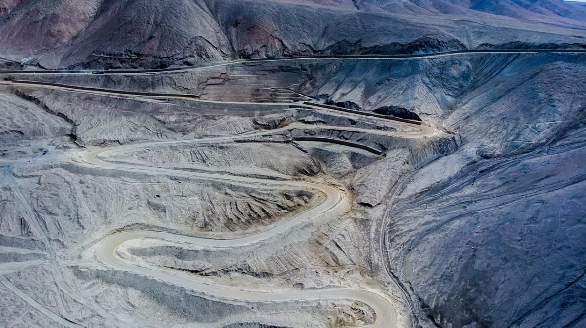
Kazarman Road over Kaldama Pass
Jalal-Abad Region, Kyrgyzstan
106 km of rocky hairpins across the Fergana Range from Kazarman to the walnut-forest valleys.
Photo: Representative photo, not this location (嘻哈文 / Pixabay)
Nav gets you to the trailhead. On the trail, Follow trail shows the line and where you are on it — road directions don't work on dirt trails.
The line joins the trail's waypoints in straight lines — it shows the general route, not every turn.
The main link between remote Kazarman on the Naryn River and the Fergana Valley side of Jalal-Abad Region. The entirely unpaved, narrow, rocky track climbs steep hairpins to the 2,992 m Kaldama Pass on the Naryn/Jalal-Abad boundary, then descends through fertile valleys toward Taran-Bazar. Traffic is light and Kazarman is largely cut off in winter when snow closes the road.
Waypoints
- 1Kazarman
Wikipedia Kazarman infobox (41°24'N 74°03'E)
41.40000, 74.05000
- 2Kaldama Pass (2,992 m)
Embedded map coordinates on dangerousroads.org Kaldama page
41.28749, 73.62995
- 3Taran-Bazar
Wikipedia Taran-Bazar infobox (41°07'36"N 73°18'32"E); dangerousroads names it as the western end
41.12670, 73.30880