
All trails
Easy · 3/10
Hunter Mountain Road
Death Valley, California
A cool, forested high road in Death Valley's Cottonwood Mountains.
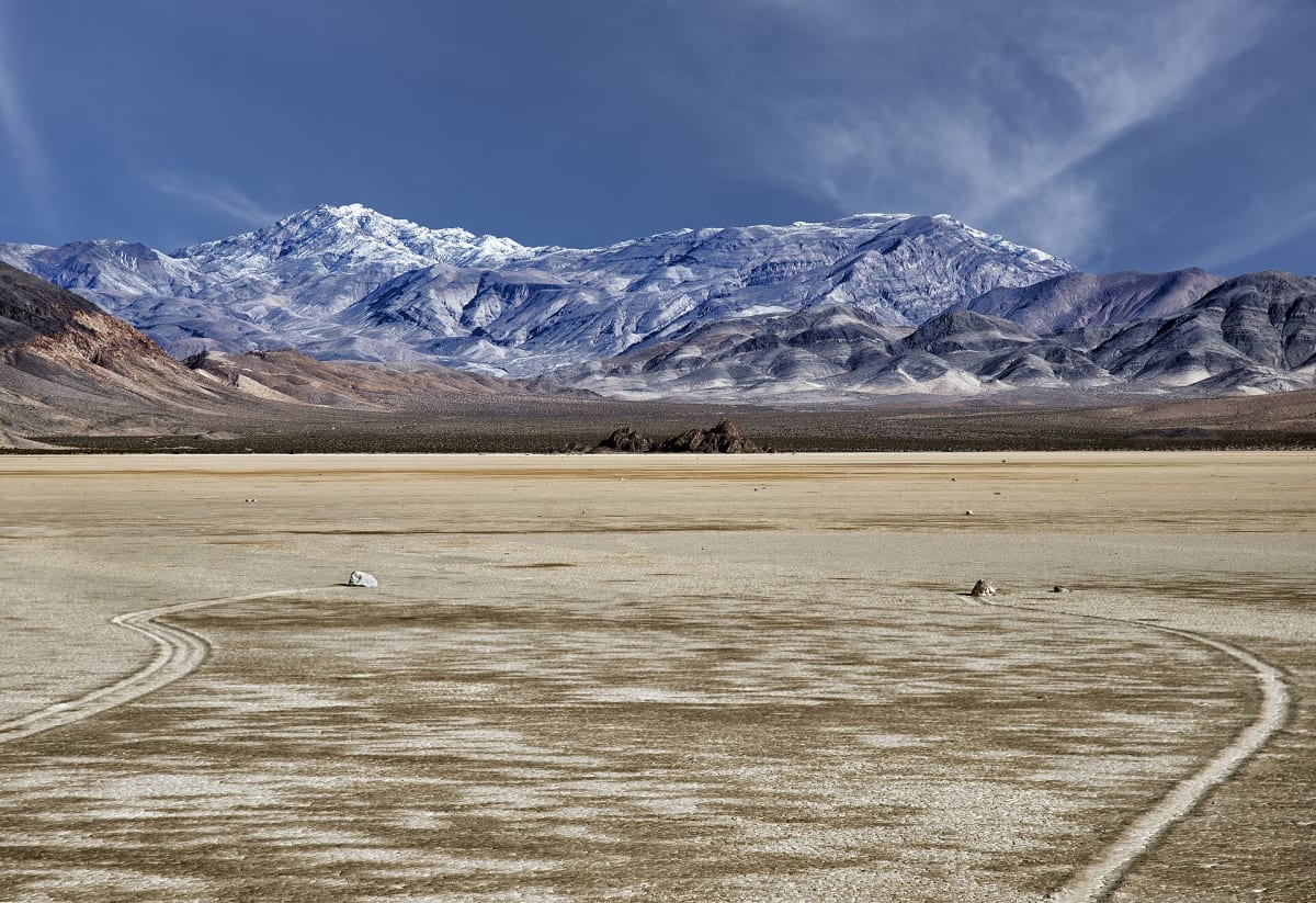
Photo: Representative photo, not this location (John Fowler / CC BY 2.0 / Wikimedia Commons)
Nav gets you to the trailhead. On the trail, Follow trail shows the line and where you are on it — road directions don't work on dirt trails.
Length
25 mi
Time
2.5 hr
Difficulty
3/10 · Easy
Managed by
Death Valley National Park
Trail line © OpenStreetMap contributors (ODbL).
Hunter Mountain Road crosses the high country of Death Valley National Park through pinyon and juniper woodland, a rare cool escape in the park, and connects to Saline Valley. It is rough and can be closed by snow in winter.
Waypoints
- 1Start of Hunter Mountain Road
36.52661, -117.54694
- 2Hunter Mountain Road, about 6 mi in
36.56853, -117.47787
- 3Hunter Mountain Road, about 12 mi in
36.61986, -117.47468
- 4Hunter Mountain Road, about 19 mi in
36.68948, -117.49921
- 5End of Hunter Mountain Road
36.76009, -117.54230