
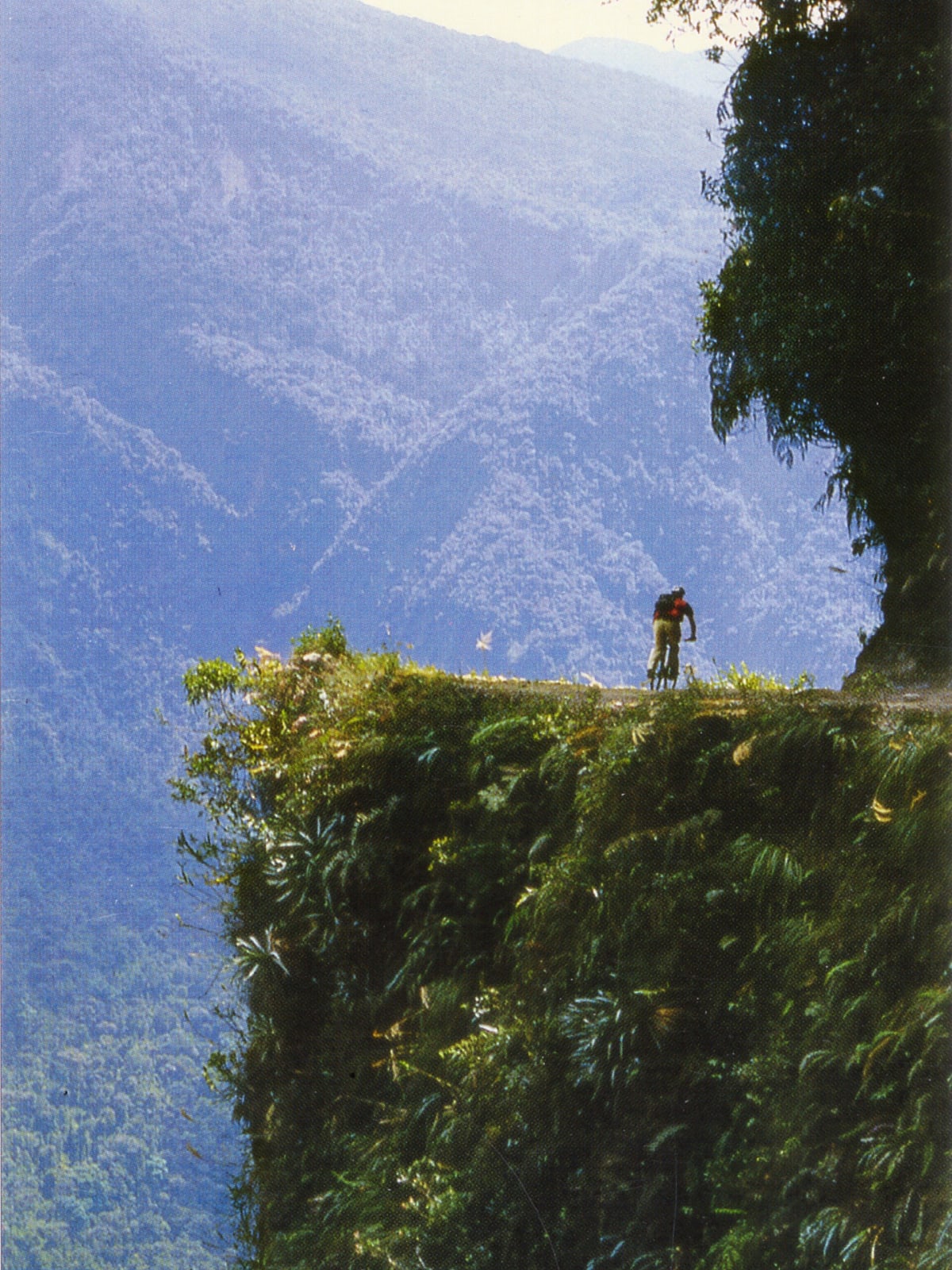
North Yungas Road (Death Road)
La Paz Department, Nor Yungas (Coroico Municipality), Bolivia
The old cliff-edge gravel road from the Andes down into the Yungas cloud forest
Photo: Warren H / CC BY 2.0 / Wikimedia Commons
Nav gets you to the trailhead. On the trail, Follow trail shows the line and where you are on it — road directions don't work on dirt trails.
The line joins the trail's waypoints in straight lines — it shows the general route, not every turn.
The original North Yungas Road drops from the cold heights above La Paz into the humid Yungas on a single-lane gravel shelf with no guardrails and drop-offs of several hundred metres. Since the Route 3 bypass opened in 2006 it carries little traffic beyond mountain bikers and tour support vans, but it remains a public road. Unusually for Bolivia, traffic keeps to the LEFT here so the downhill driver sits on the cliff edge and can judge the wheel placement.
Waypoints
- 1Southern end of the old Yungas Road
Wikipedia 'Yungas Road' coord labelled 'Southern end of the Yungas Road' (16°17′25″S 67°49′38″W). Gravel begins here off Route 3.
-16.29025, -67.82713
- 2Cliff section (route marker)
Map marker on dangerousroads.org Death Road page (unlabelled marker along the route).
-16.27120, -67.78620
- 3Lower road toward Yolosa (route marker)
Map marker on dangerousroads.org Death Road page (unlabelled marker along the route).
-16.22390, -67.74210
- 4Climb toward Coroico (route marker)
Map marker on dangerousroads.org Death Road page (unlabelled marker along the route).
-16.19550, -67.74280
- 5Coroico
Wikipedia 'Coroico' coords 16°11′S 67°44′W; elevation 1,525 m.
-16.18300, -67.73300