
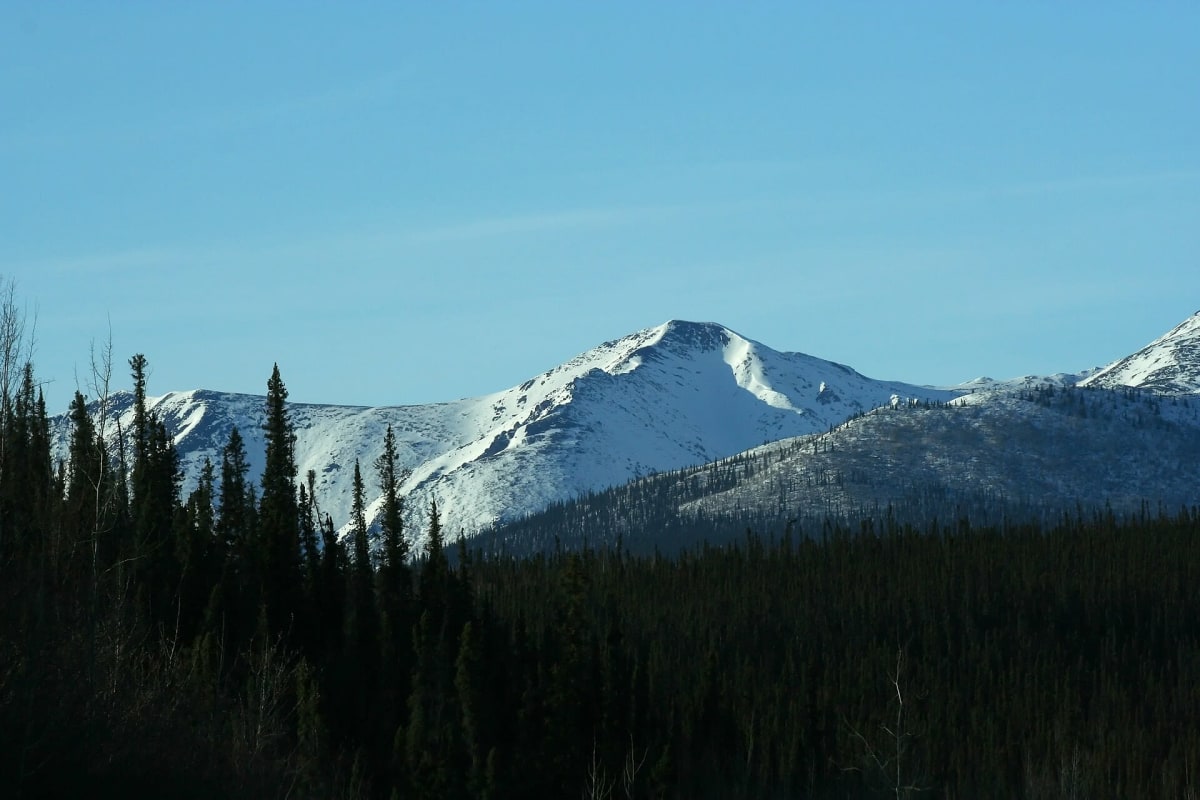
Dempster Highway
Yukon / Northwest Territories, Canada
A gravel highway across the Arctic Circle to Inuvik, through the Tombstone Mountains.
Photo: Ian Mackenzie / CC BY 2.0 / Wikimedia Commons
Nav gets you to the trailhead. On the trail, Follow trail shows the line and where you are on it — road directions don't work on dirt trails.
Trail line © OpenStreetMap contributors (ODbL).
The Dempster Highway runs about 460 miles of gravel from near Dawson City through Tombstone Territorial Park, across the Arctic Circle and the Peel and Mackenzie rivers to Inuvik, with the all-weather road continuing to Tuktoyaktuk. It is remote, with long gaps between fuel at Eagle Plains and Fort McPherson; flat tyres are common.
Waypoints
- 1Start of Dempster Highway
63.98999, -138.74123
- 2Dempster Highway, about 83 mi in
64.99233, -138.18949
- 3Dempster Highway, about 167 mi in
65.85723, -137.71044
- 4Dempster Highway, about 250 mi in
66.56460, -136.30884
- 5End of Dempster Highway
67.33778, -134.87960