
Naudé's Nek Pass
Rhodes, Eastern Cape, South Africa
One of South Africa's highest gravel passes, from Rhodes over the Drakensberg to Maclear
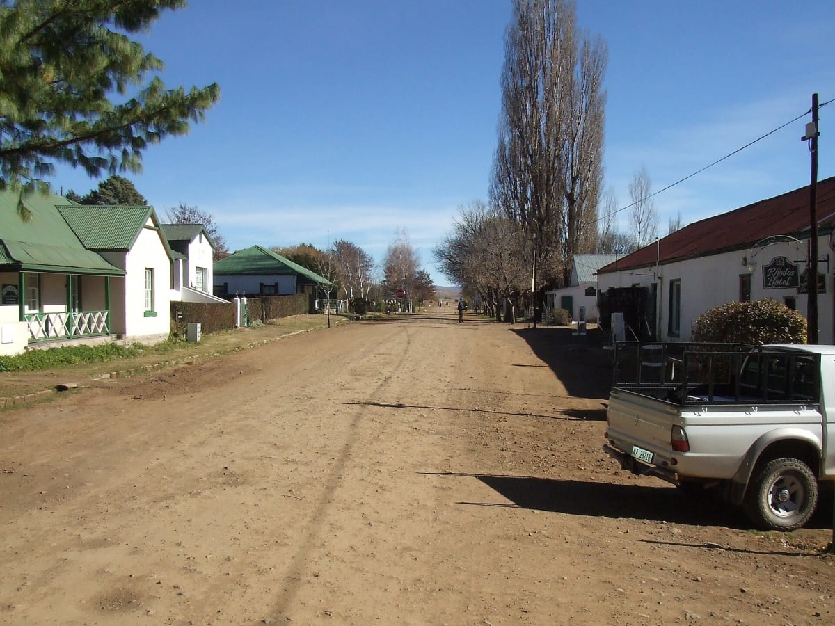
Photo: Representative photo, not this location (SA-Venues.com / CC BY 2.0 / Wikimedia Commons)
Nav gets you to the trailhead. On the trail, Follow trail shows the line and where you are on it — road directions don't work on dirt trails.
The line joins the trail's waypoints in straight lines — it shows the general route, not every turn.
Naudé's Nek is a 32.7 km mega-pass on the R396 linking the village of Rhodes with Maclear, climbing to around 2,500 m and ranking among the highest public gravel roads in South Africa. Hairpins, mist and rough sharp-stoned sections on the Maclear side make it a slow drive, and winter snow regularly turns it slippery or temporarily impassable. Driving west to east from Rhodes gives the best of the climb.
Waypoints
- 1Rhodes village
Coords 30°47'44"S 27°57'51"E from Wikipedia (Rhodes, South Africa) via Wikiwand.
-30.79556, 27.96417
- 2Naudé's Nek summit
Coords 30°45'36"S 28°04'34"E from Wikipedia List of mountain passes of the Eastern Cape.
-30.76000, 28.07611
- 3Maclear
Coords from Wikipedia Maclear infobox (31°04'12"S 28°21'0"E).
-31.07000, 28.35000