
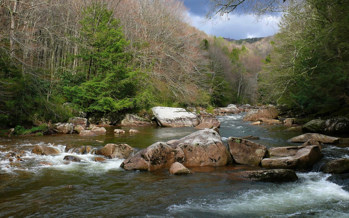
Williams River Road (Forest Road 86)
Cowen / Marlinton, Webster & Pocahontas counties, West Virginia
River-hugging forest road from Dyer up to the Highland Scenic Highway
Photo: Ken Thomas / Public domain / Wikimedia Commons
Nav gets you to the trailhead. On the trail, Follow trail shows the line and where you are on it — road directions don't work on dirt trails.
The line joins the trail's waypoints in straight lines — it shows the general route, not every turn.
Forest Road 86 follows the Williams River deep into the Monongahela from the Dyer/Cowen end to the Highland Scenic Highway (WV 150), with designated riverside campsites strung along the way. It is a mix of gravel and spot-paved stretches, so it is easy driving, but the scenery, trout water and quiet campgrounds like Tea Creek and Day Run make it a favourite slow route. Sections were rebuilt in 2022 and more work is planned, so check conditions with the ranger district first.
Waypoints
- 1Dyer (Cowen end)
Community on the Williams River about 4.9 mi ESE of Cowen
38.38111, -80.47472
- 2Tea Creek Campground
1 mi from the Williams River bridge turnoff on WV 150
38.34117, -80.23224
- 3Day Run Campground (via FR 216)
3 mi upriver from the WV 150 turnoff, then 1 mi on FR 216
38.28638, -80.21686