
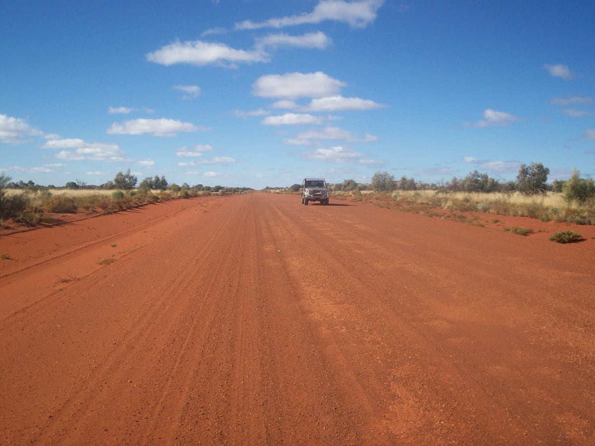
Great Central Road
Western Desert, Western Australia to Northern Territory, Australia
Outback Way's desert crossing from Laverton to Uluru
Photo: Gazjo at English Wikipedia / Public domain / Wikimedia Commons
Nav gets you to the trailhead. On the trail, Follow trail shows the line and where you are on it — road directions don't work on dirt trails.
The line joins the trail's waypoints in straight lines — it shows the general route, not every turn.
The western half of the Outback Way runs about 1,126 km from Laverton in the WA Goldfields through Ngaanyatjarra country to Yulara near Uluru, becoming Tjukaruru Road in the NT. Most of it is still unsealed but graded for 2WD and caravans, with roadhouses at Tjukayirla, Warburton and Warakurna. A free transit permit is required, and a quarantine amnesty bin sits about 20 km outside Laverton.
Waypoints
- 1Laverton
WSW terminus coordinates from Wikipedia Great Central Road infobox.
-28.62598, 122.40566
- 2Warburton Roadhouse
Fuel; coordinates from Wikipedia Gunbarrel Highway fuel list (the Great Central Road page gives rounded 26.217 S 126.650 E for Warburton). About 554 km from Laverton.
-26.13186, 126.56903
- 3Warakurna Roadhouse
Fuel; coordinates from Wikipedia Gunbarrel Highway fuel list. About 781 km from Laverton.
-25.04291, 128.30342
- 4Yulara
ENE terminus coordinates from Wikipedia Great Central Road infobox (rounded). Lasseter Highway onward.
-25.23300, 130.98300