
Macetown Road
Queenstown Lakes, New Zealand
23 river crossings up the Arrow River to a gold-rush ghost town
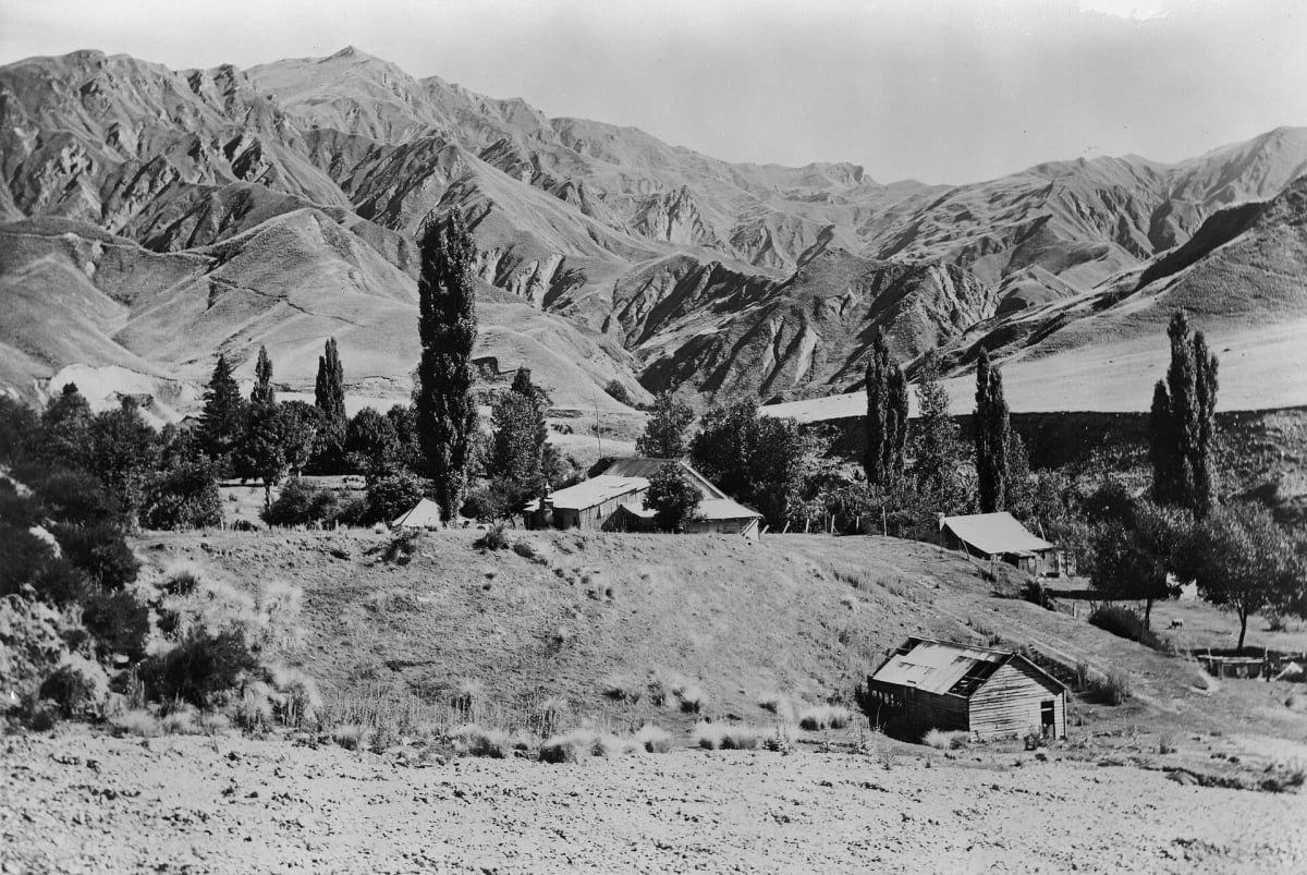
Photo: Representative photo, not this location (Unknown author Unknown author / Public domain / Wikimedia Commons)
Nav gets you to the trailhead. On the trail, Follow trail shows the line and where you are on it — road directions don't work on dirt trails.
The line joins the trail's waypoints in straight lines — it shows the general route, not every turn.
A rough, narrow 15 km 4WD track that climbs the Arrow River gorge from Arrowtown to the abandoned gold town of Macetown. The track has 23 unbridged river crossings, blind corners and steep drop-offs. DOC calls it a challenging and risky drive and does not maintain it or provide vehicle recovery. At the end you can camp at a basic DOC site and see Andersons Battery and the restored stone buildings of Macetown.
Waypoints
- 1Arrowtown
Start of Macetown Road. Coordinate from the Wikipedia page for Arrowtown.
-44.94250, 168.83583
- 2Macetown DOC campsite
Basic free DOC campsite. Boil river water before drinking. Coordinate from the DOC Macetown campsite page.
-44.86689, 168.82098
- 3Macetown ghost town
Historic settlement where the Rich Burn joins the Arrow. Coordinate from the Wikipedia Macetown article, read on the wikiless mirror.
-44.86700, 168.83300