
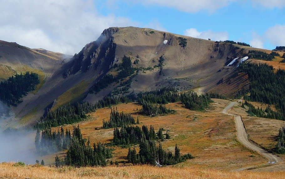
Obstruction Point Road
Hurricane Ridge / Port Angeles, Washington
Washington's highest park road, a gravel ridge-run above Hurricane Ridge
Photo: Ron Clausen / CC BY-SA 4.0 / Wikimedia Commons
Nav gets you to the trailhead. On the trail, Follow trail shows the line and where you are on it — road directions don't work on dirt trails.
Trail line © OpenStreetMap contributors (ODbL).
A narrow, single-lane gravel road leaves the Hurricane Ridge parking lot and follows the ridge crest east for about 7.8 miles to Obstruction Point at roughly 6,150 ft. The views over the Olympic interior are huge the whole way. Loose rock, potholes and washboard call for a slow pace, the road isn't suitable for RVs or trailers, and the small lot at the end fills on summer weekends.
Waypoints
- 1Hurricane Ridge – start of Obstruction Point Road
47.96958, -123.49419
- 2Eagle Point
47.93925, -123.40907
- 3Obstruction Point trailhead
47.91835, -123.38223