
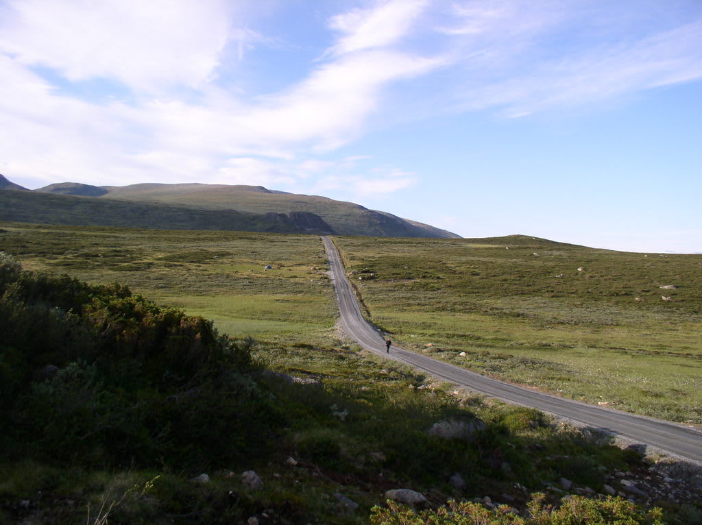
Jotunheimvegen (Bygdin–Skåbu)
Jotunheimen / Valdres–Gudbrandsdalen, Innlandet, Norway
45 km gravel toll road across the eastern Jotunheimen plateau
Photo: Johannes1024 / CC BY-SA 3.0 / Wikimedia Commons
Nav gets you to the trailhead. On the trail, Follow trail shows the line and where you are on it — road directions don't work on dirt trails.
The line joins the trail's waypoints in straight lines — it shows the general route, not every turn.
A privately run gravel toll road that crosses open high plateau between Fv51 near Bygdin and Skåbu, said to be the highest permanently inhabited village in northern Europe. It follows the northern shores of Sandvatnet and Vinstri past summer mountain farms and Haugseter Fjellstue. At the eastern end it drops down the Slangen hairpins toward Finnbølslia.
Waypoints
- 1Skåbu
Village at 870 m, the eastern end. Coordinate from the Skåbu Wikipedia article; matches the DR route waypoint 61.5296575, 9.4162156.
61.52962, 9.41628
- 2Slangen hairpins
Hairpin section (Slangslivegen) up from Finnbølslia over the Flekka river. Coordinate from the Google Maps link in the Jotunheimvegen Wikipedia article.
61.47857, 9.35814
- 3Jotunheimvegen plateau
Open plateau stretch near Vinstri and Haugseter. Coordinate is the reference point (61.3925389N, 9.1391553E) published on jotunheimen.com.
61.39254, 9.13916
- 4Bygdin (Fv51)
Western end at Fv51 by Bygdin Høyfjellshotell (1,065 m). Converted from the UTM 32V 489222 6799314 listed on peakbook.org for the hotel. The gravel road meets Fv51 a short way east of the hotel.
61.32778, 8.79865