
Sprengisandur (F26)
Central Highlands, Iceland
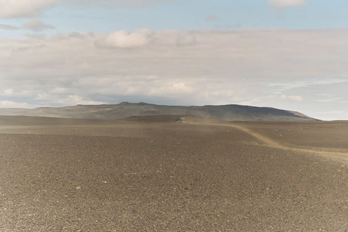
The longest crossing of Iceland's empty interior — a black desert between glaciers.
Photo: The original uploader was Nojhan at French Wikipedia . / CC BY-SA 1.0 / Wikimedia Commons
Nav gets you to the trailhead. On the trail, Follow trail shows the line and where you are on it — road directions don't work on dirt trails.
Trail line © OpenStreetMap contributors (ODbL).
Sprengisandur (F26) runs north–south through the heart of Iceland across a vast gravel and lava desert between the Hofsjökull and Vatnajökull ice caps. It is long, remote and rough in places, with some river crossings and no services between the ends — fuel up first and travel with another vehicle if you can.
Waypoints
- 1Start of Sprengisandsleið
64.19942, -19.03936
- 2Sprengisandsleið, about 29 mi in
64.46340, -18.62792
- 3Sprengisandsleið, about 59 mi in
64.73921, -18.06991
- 4Sprengisandsleið, about 88 mi in
65.07170, -17.79080
- 5End of Sprengisandsleið
65.37923, -17.36934