
Quebrada de las Flechas – RN40 Cachi to Cafayate
Valles Calchaquíes, Salta, Argentina
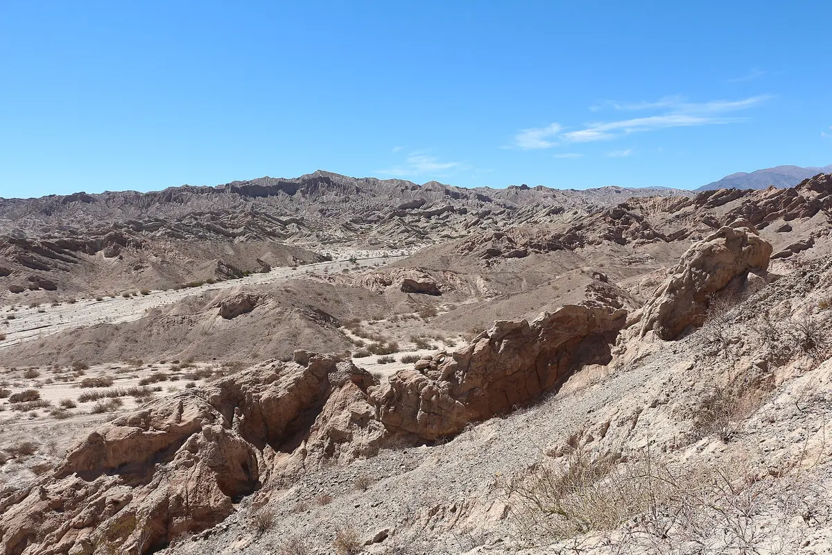
The gravel Ruta 40 through the Calchaquí Valleys and a canyon of tilted sandstone arrows.
Photo: Bernard Gagnon / CC BY-SA 4.0 / Wikimedia Commons
Nav gets you to the trailhead. On the trail, Follow trail shows the line and where you are on it — road directions don't work on dirt trails.
The line joins the trail's waypoints in straight lines — it shows the general route, not every turn.
This stretch of the national Ruta 40 links Cachi and Cafayate through Seclantás, Molinos, Angastaco and San Carlos, much of it on ripio, dirt and sandy sections. South of Angastaco it threads the Quebrada de las Flechas, about 20 km of jagged, steeply tilted sandstone fins with narrow cuts where the walls nearly meet. The road is narrow and blind on curves (sound your horn), often washboarded, and summer rains can flood dips; Molinos is the last fuel before Cachi. Avoid driving it at night.
Waypoints
- 1Cachi
Town coordinates from Wikipedia (Cachi, Argentina), 2,531 m.
-25.11940, -66.16200
- 2Seclantás
Town coordinates from Wikipedia (Seclantás). Weavers' village on RN40; continue south via Molinos (last fuel) and Angastaco, then through the Quebrada de las Flechas (approx. km 4,380 of RN40).
-25.30000, -66.25000
- 3Cafayate
Town coordinates from Wikipedia (Cafayate), 1,683 m. Pavement resumes around San Carlos, about 20 km before Cafayate.
-26.08300, -65.96700