
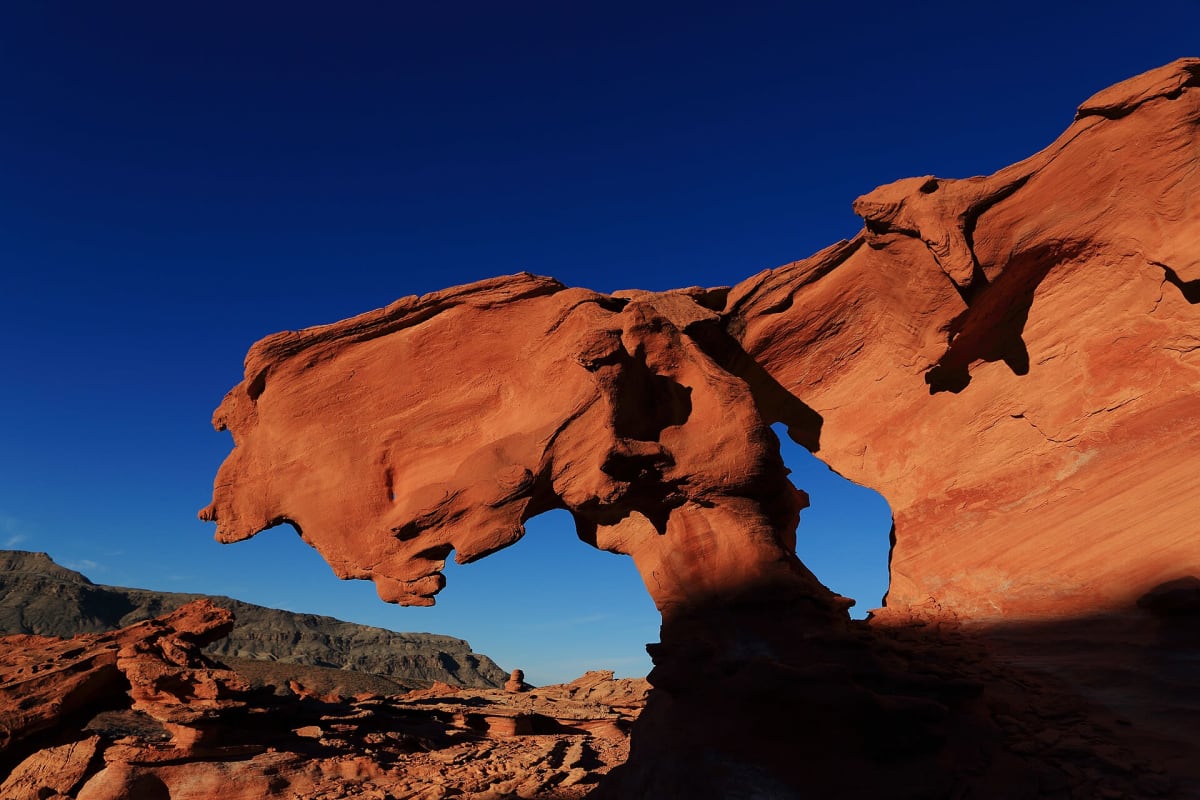
Gold Butte Backcountry Byway
Gold Butte National Monument, Nevada
Red sandstone, rock art and old mining camps in remote southern Nevada.
Photo: Ducilla1 / CC BY-SA 4.0 / Wikimedia Commons
Nav gets you to the trailhead. On the trail, Follow trail shows the line and where you are on it — road directions don't work on dirt trails.
Trail line © OpenStreetMap contributors (ODbL).
The Gold Butte byway leads into Gold Butte National Monument through colorful sandstone formations, past petroglyph sites and the remains of a mining town. The main route is rough pavement and dirt; side roads to Whitney Pocket and Falling Man need high clearance. It is very remote — carry water and fuel.
Waypoints
- 1Start of Gold Butte Road
36.28090, -114.20104
- 2Gold Butte Road, about 9 mi in
36.39095, -114.12899
- 3Gold Butte Road, about 19 mi in
36.50928, -114.14696
- 4Gold Butte Road, about 28 mi in
36.61134, -114.22007
- 5End of Gold Butte Road
36.69672, -114.25312