
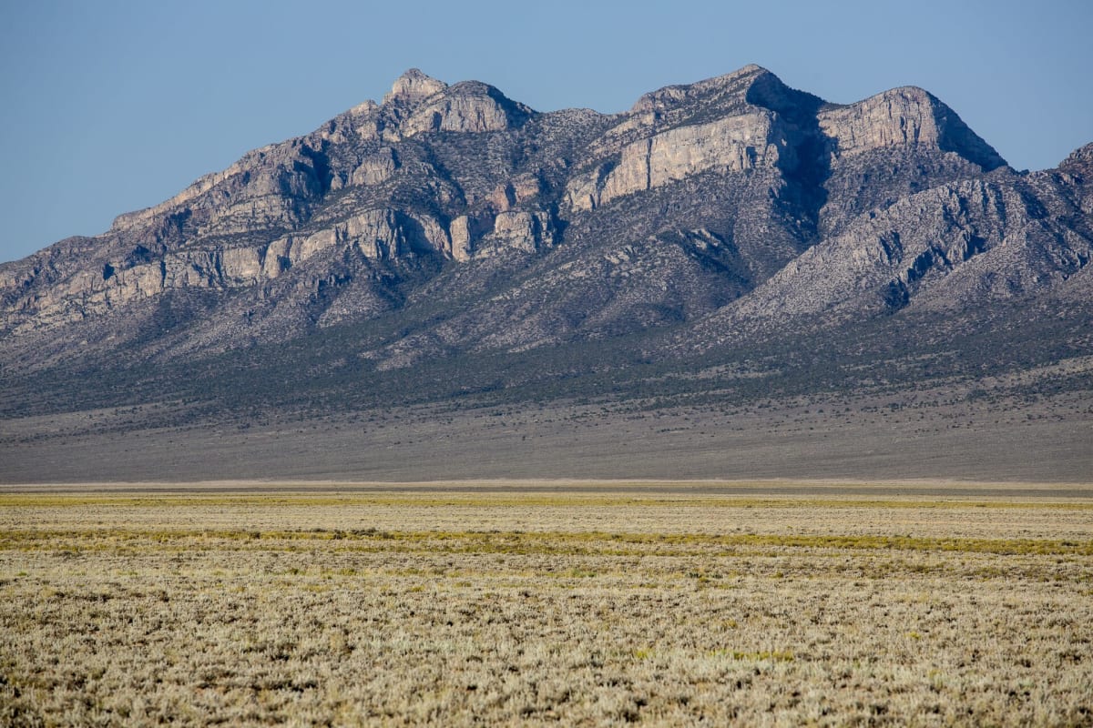
Logan Canyon Road over Logan Pass
Basin and Range National Monument (Hiko / Alamo), Nevada
Petroglyphs, a ghost townsite and a steep pass in Basin and Range NM
Photo: mypubliclands / CC BY 2.0 / Wikimedia Commons
Nav gets you to the trailhead. On the trail, Follow trail shows the line and where you are on it — road directions don't work on dirt trails.
The line joins the trail's waypoints in straight lines — it shows the general route, not every turn.
A county-maintained dirt road that leaves NV-318 north of Hiko, passes the Mount Irish Archaeological District's petroglyph sites and the Mt. Irish campground, then narrows and climbs steeply over Logan Pass in the Mount Irish Range before dropping to Wild Horse Road. The lower half is usually smooth; beyond the rock-art sites it turns rocky with some drop-offs, and the Silver Canyon wash crossing frequently washes out.
Waypoints
- 1NV-318 at Logan Canyon Road
Coordinates per birdandhike.com Logan Cyn Rd GPS table (site 1130), mile 0.0
37.56657, -115.23051
- 2Echo Rock petroglyph trailhead
Coordinates per birdandhike.com GPS table (site 1132), mile 6.9
37.60539, -115.34342
- 3Mt. Irish Campground
Coordinates per birdandhike.com GPS table (site 1985), mile 8.19
37.60312, -115.36554
- 4Logan Townsite Road
Coordinates per birdandhike.com GPS table (site 1592), mile 9.6
37.61111, -115.38902
- 5Logan Pass
Coordinates per birdandhike.com GPS table (site 1590), mile 11.6; steep and narrow with drop-offs
37.62682, -115.40805
- 6Rosario (Rosie's) mining cabin
Coordinates per birdandhike.com GPS table (site 1591), mile 12.5
37.63062, -115.42017
- 7Wild Horse Road junction
Coordinates per birdandhike.com GPS table (site 1582), mile 15.4. Source datum NAD27
37.61120, -115.46137