
Goose Lake Jeep Trail (FS 3230)
Cooke City, Montana
Boulder-strewn 8-mile run to an alpine lake on the Absaroka-Beartooth edge
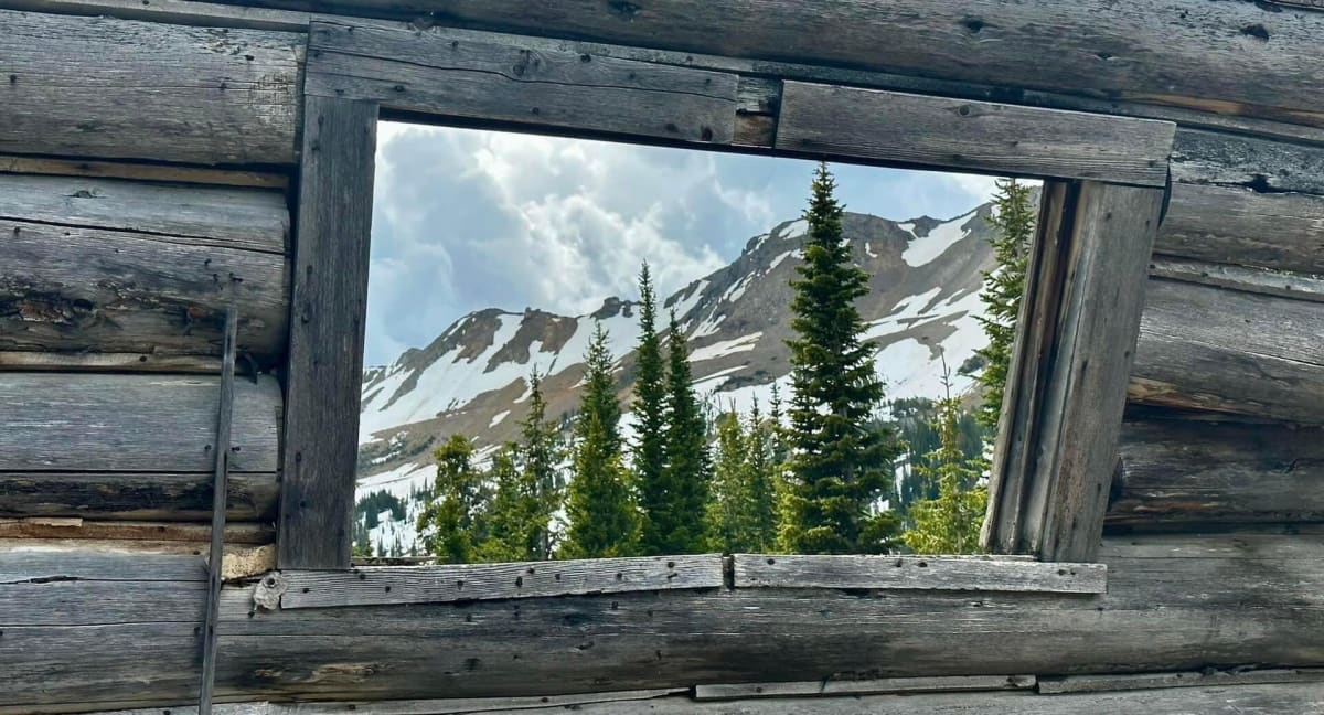
Photo: Representative photo, not this location (Forest Service - Northern Region / Public domain / Wikimedia Commons)
Nav gets you to the trailhead. On the trail, Follow trail shows the line and where you are on it — road directions don't work on dirt trails.
The line joins the trail's waypoints in straight lines — it shows the general route, not every turn.
Leaving US-212 just east of Cooke City near Colter Pass, this old mining road climbs through the New World district past Round Lake to Goose Lake at about 9,900 ft, right at the Absaroka-Beartooth Wilderness boundary. The first couple of miles were rebuilt for mine reclamation, but beyond that come steep boulder sections, a tight turn into a water crossing and a rocky finale where sliders and a spotter help. Snow can block it into late July.
Waypoints
- 1US-212 turnoff east of Cooke City
Route start in the dangerousroads.org embedded map; FS 3230 leaves US-212 about 3 mi east of Cooke City, short of Colter Pass.
45.02655, -109.90010
- 2Round Lake
USGS GNIS lake position (topozone/topoquest), 9,350 ft; trip reports park here for hikes.
45.07437, -109.90686
- 3Goose Lake
Route end in the dangerousroads.org map; lake sits ~0.5 mi inside the wilderness boundary — vehicles stop at the boundary.
45.10816, -109.91440