
All trails
Easy · 2/10
Gamle Strynefjellsvegen
Stryn / Grotli, Norway
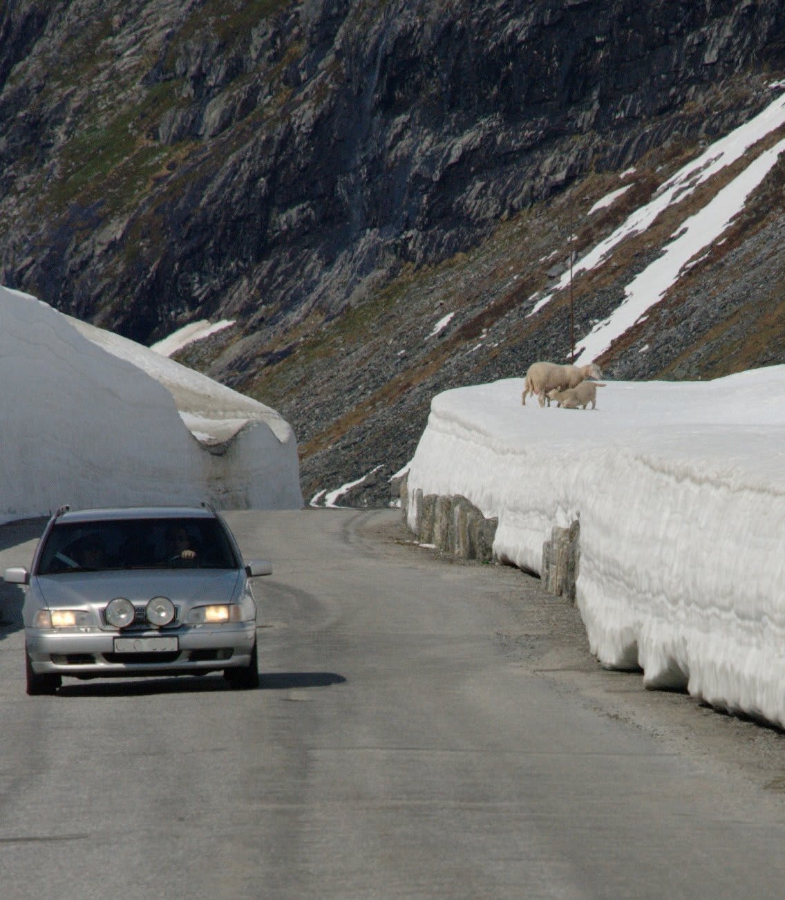
A narrow 1890s gravel mountain road with stone walls, one of Norway's National Tourist Routes.
Photo: Siri Spjelkavik / CC BY-SA 2.0 / Wikimedia Commons
Nav gets you to the trailhead. On the trail, Follow trail shows the line and where you are on it — road directions don't work on dirt trails.
Length
6.2 mi
Time
0.5 hr
Difficulty
2/10 · Easy
Managed by
Statens vegvesen (National Tourist Route)
Trail line © OpenStreetMap contributors (ODbL).
Gamle Strynefjellsvegen, built in the 1890s, crosses the mountains between Grotli and Videsæter on a narrow gravel road lined with dry-stone walls, past lakes and snowfields. It is one of Norway's National Tourist Routes and is open only in summer. The mapped line covers the eastern section.
Waypoints
- 1Start of Gamle Strynefjellsvegen
61.93699, 7.26434
- 2Gamle Strynefjellsvegen, about 2 mi in
61.94294, 7.28661
- 3Gamle Strynefjellsvegen, about 3 mi in
61.95002, 7.32115
- 4Gamle Strynefjellsvegen, about 5 mi in
61.95562, 7.35374
- 5End of Gamle Strynefjellsvegen
61.96435, 7.39470