
All trails
Extreme · 8/10
Elephant Hill
Canyonlands — Needles, Utah
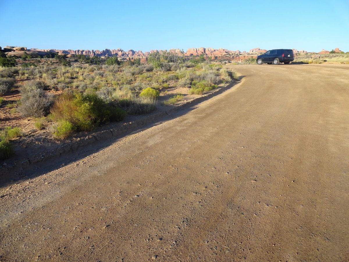
Canyonlands' toughest 4×4 road — steep ledges and a backing-up switchback.
Photo: Fabio Achilli from Milano, Italy / CC BY 2.0 / Wikimedia Commons
Nav gets you to the trailhead. On the trail, Follow trail shows the line and where you are on it — road directions don't work on dirt trails.
Length
6.5 mi
Time
3 hr
Difficulty
8/10 · Extreme
Managed by
Canyonlands National Park
Trail line © OpenStreetMap contributors (ODbL).
Elephant Hill leaves the Needles District trailhead with an extremely steep, ledgy climb, including switchbacks that require backing up on bare rock, and continues to the Devil's Kitchen and Confluence Overlook areas. It is one of the most technical roads in any national park.
Waypoints
- 1Start of Elephant Hill Road
38.15004, -109.80069
- 2Elephant Hill Road, about 2 mi in
38.14596, -109.81556
- 3Elephant Hill Road, about 3 mi in
38.14549, -109.83377
- 4Elephant Hill Road, about 5 mi in
38.14919, -109.85414
- 5End of Elephant Hill Road
38.13999, -109.86944