
Khwai to Savuti and Linyanti
North-West District (Chobe National Park), Botswana
Classic deep-sand safari traverse through Chobe's wild southwest
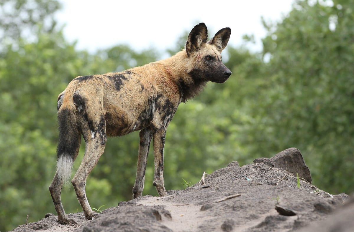
Photo: Derek Keats from Johannesburg, South Africa / CC BY 2.0 / Wikimedia Commons
Nav gets you to the trailhead. On the trail, Follow trail shows the line and where you are on it — road directions don't work on dirt trails.
The line joins the trail's waypoints in straight lines — it shows the general route, not every turn.
This self-drive classic runs east from Khwai village along the Khwai River to Mababe, enters Chobe National Park at Mababe Gate, crosses to the Savuti campsite, then follows the Savuti–Linyanti road to the Linyanti campsite on the swamps. At Mababe Gate you choose the Sand Ridge or Marsh Road depending on the season, and the Linyanti leg includes about 6 km of very deep sand. In January 2026 the DWNP closed the Mababe–Savuti Marsh Road after heavy rains, so check current status before you go.
Waypoints
- 1Khwai village
Wikipedia (Khwai) 19°09′58″S 23°45′00″E, just outside Moremi's North Gate.
-19.16611, 23.75000
- 2Mababe village (Khwai River bridge)
Wikipedia (Mababe) 19°10′49″S 23°59′49″E. Machaba self-drive sheet: steel bridge over the Khwai about 300 m from Mababe.
-19.18028, 23.99694
- 3Mababe Gate (Chobe NP)
namibweb.com Savuti/Linyanti page: Mababe Gate S19.102854 E23.985302. Choose Sand Ridge or Marsh Road here.
-19.10285, 23.98530
- 4Savuti campsite
namibweb.com Savuti/Linyanti page: Savuti campsite S18.565271 E24.063313.
-18.56527, 24.06331
- 5Linyanti campsite
namibweb.com Savuti/Linyanti page: Linyanti camp site S18.29569 E23.90773.
-18.29569, 23.90773