
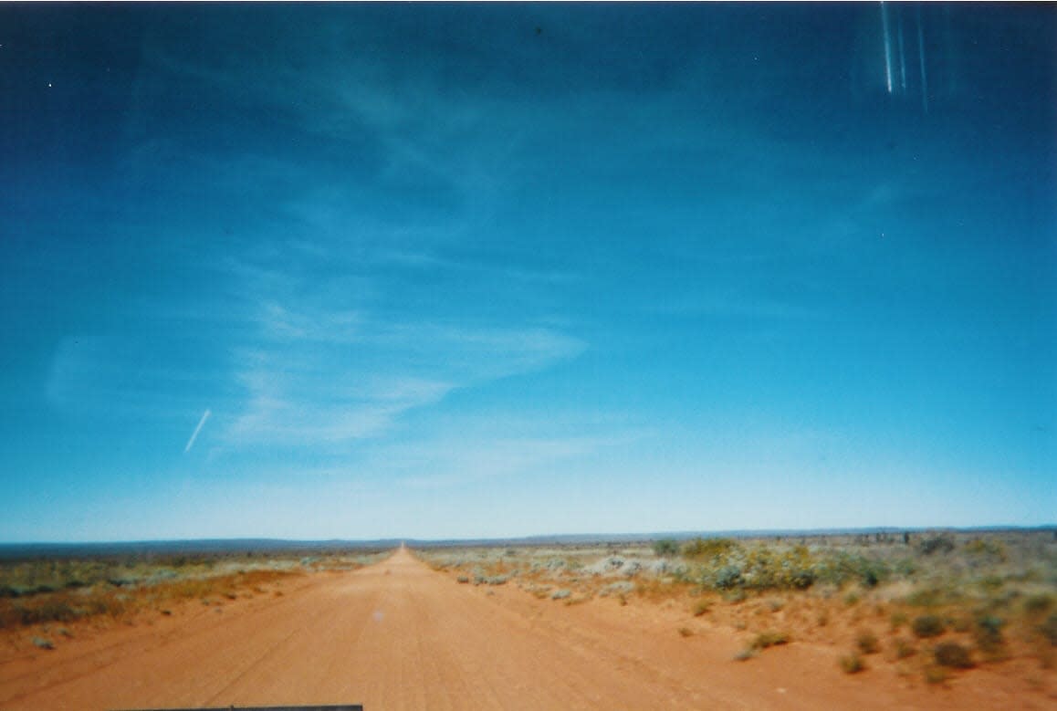
Tanami Road
Tanami Desert, Northern Territory and Western Australia, Australia
1,000 km desert shortcut from Alice Springs to the Kimberley
Photo: Robertewelsh at English Wikipedia / Public domain / Wikimedia Commons
Nav gets you to the trailhead. On the trail, Follow trail shows the line and where you are on it — road directions don't work on dirt trails.
The line joins the trail's waypoints in straight lines — it shows the general route, not every turn.
The Tanami Road crosses the Tanami Desert for about 1,035 km between the Stuart Highway north of Alice Springs and the Great Northern Highway near Halls Creek. Sealing is progressing in stages, but long sections are still dirt and gravel with severe corrugations. The roadhouse at Rabbit Flat has been closed since 2010, so the long gaps between fuel stops such as Tilmouth Well and Halls Creek need careful planning; there is no fuel at Billiluna or Balgo.
Waypoints
- 1Tanami Road / Stuart Highway junction
Coordinates from ExplorOz place page 'Tanami Rd & Stuart Hwy'. About 19 km north of Alice Springs.
-23.53439, 133.86314
- 2Tilmouth Well Roadhouse
Coordinates from Bushtracker/ExplorOz place page. Fuel 7 days a week, caravan park; about 186 km from Alice Springs.
-22.80978, 132.59886
- 3Yuendumu
Coordinates from Wikipedia Yuendumu page. Warlpiri community about 293 km from Alice Springs.
-22.25500, 131.79528
- 4Halls Creek
Coordinates from Wikipedia Halls Creek page (town). The road meets the Great Northern Highway about 17 km south-west of town.
-18.23000, 127.67000