
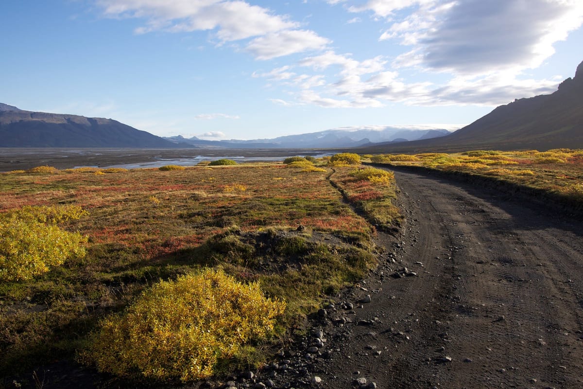
Þórsmörk road (F249)
Þórsmörk, Iceland
A road of river crossings into a glacier-ringed valley below Eyjafjallajökull.
Photo: Representative photo, not this location (Boaworm / CC BY-SA 3.0 / Wikimedia Commons)
Nav gets you to the trailhead. On the trail, Follow trail shows the line and where you are on it — road directions don't work on dirt trails.
Trail line © OpenStreetMap contributors (ODbL).
The road into Þórsmörk follows a glacial valley between Eyjafjallajökull and Mýrdalsjökull, crossing a series of unbridged glacial rivers — the Krossá near the end is notorious and has swept vehicles away. Most visitors use the highland bus; only experienced drivers in large, high-clearance 4×4s should attempt the final fords.
Waypoints
- 1Start of Þórsmerkurvegur
63.61340, -20.00547
- 2Þórsmerkurvegur, about 5 mi in
63.66738, -19.91844
- 3Þórsmerkurvegur, about 10 mi in
63.68059, -19.76771
- 4Þórsmerkurvegur, about 14 mi in
63.68478, -19.62377
- 5End of Þórsmerkurvegur
63.67793, -19.48262