
Duncan Ridge Road (FS 39)
Suches / Blairsville (Cooper Creek WMA), Georgia
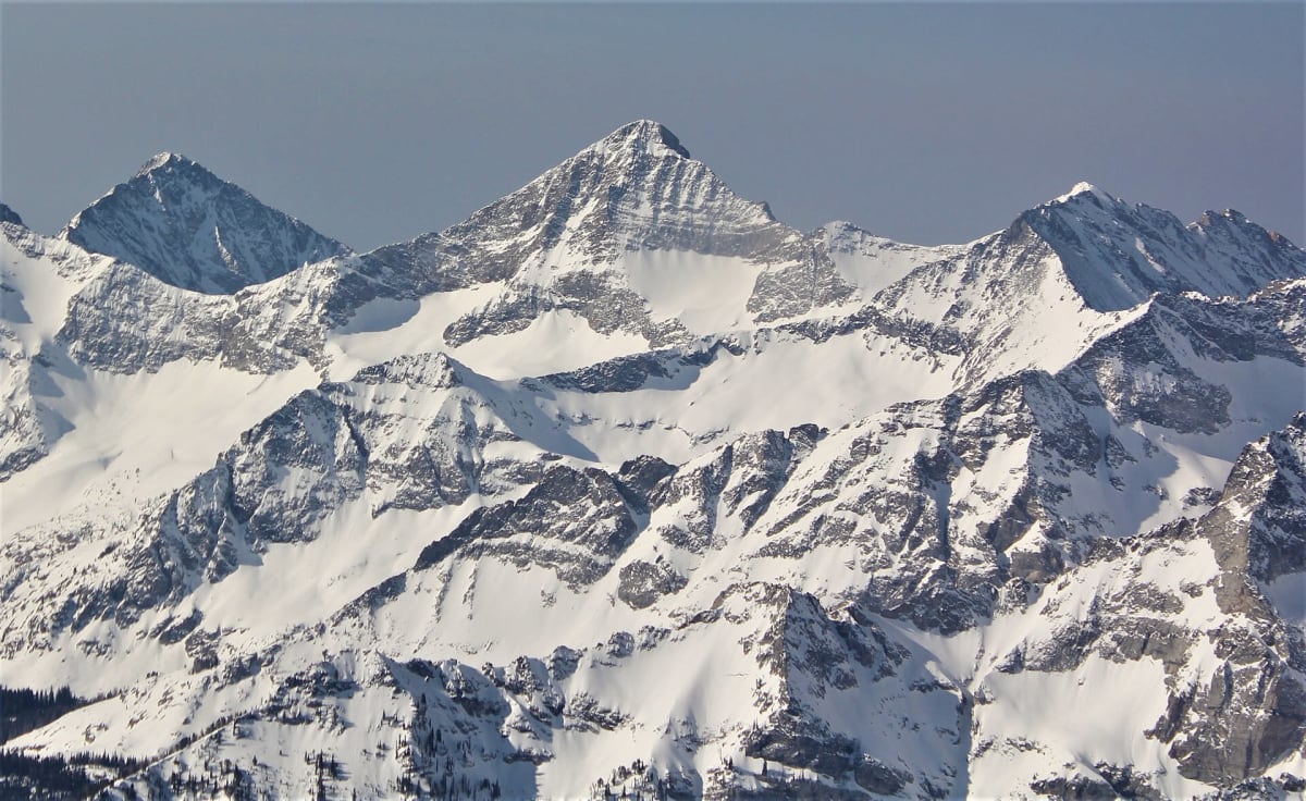
High ridge road over Coosa Bald in the Cooper Creek WMA
Photo: Representative photo, not this location (BLMIdaho / CC BY 2.5 / Wikimedia Commons)
Nav gets you to the trailhead. On the trail, Follow trail shows the line and where you are on it — road directions don't work on dirt trails.
The line joins the trail's waypoints in straight lines — it shows the general route, not every turn.
Duncan Ridge Road leaves GA 180 near Wolfpen Gap and follows Duncan Ridge west past Wildcat Knob, Coosa Bald and Buckeye Knob, then drops through Fanny Gap to Mulky Gap Road (FS 4). It is an easy dirt and gravel 4x4 road with secluded campsites, links to several hiking trails and views south over the Suches valley. Check before you go: a culvert replacement at Mulky Creek closed the west end in spring 2026.
Waypoints
- 1Wolfpen Gap (GA 180)
East access from GA 180, 3,316 ft
34.76398, -83.95213
- 2Fanny Gap
Road leaves Duncan Ridge here, 3,018 ft
34.78037, -84.03130
- 3Mulky Gap (FS 4)
Mulky Gap Road; FS 39 meets FS 4 at the Mulky Creek crossing nearby
34.79898, -84.04019