
US-395 South: Mammoth to Lone Pine, Bristlecones, Manzanar & Whitney Portal
Mammoth Lakes, California · Shared by Nate R.
Something wrong with this trip? Sign in to report it.
Route
9 stops- S
Mammoth Lakes
Starting point
- 1
Convict Lake
- 2
Rock Creek Lake
- 3
Bishop
- 4
Big Pine
- 5
Ancient Bristlecone Pine Forest
- 6
Manzanar National Historic Site
- 7
Lone Pine
- 8
Alabama Hills
- 9
Whitney Portal
About this trip
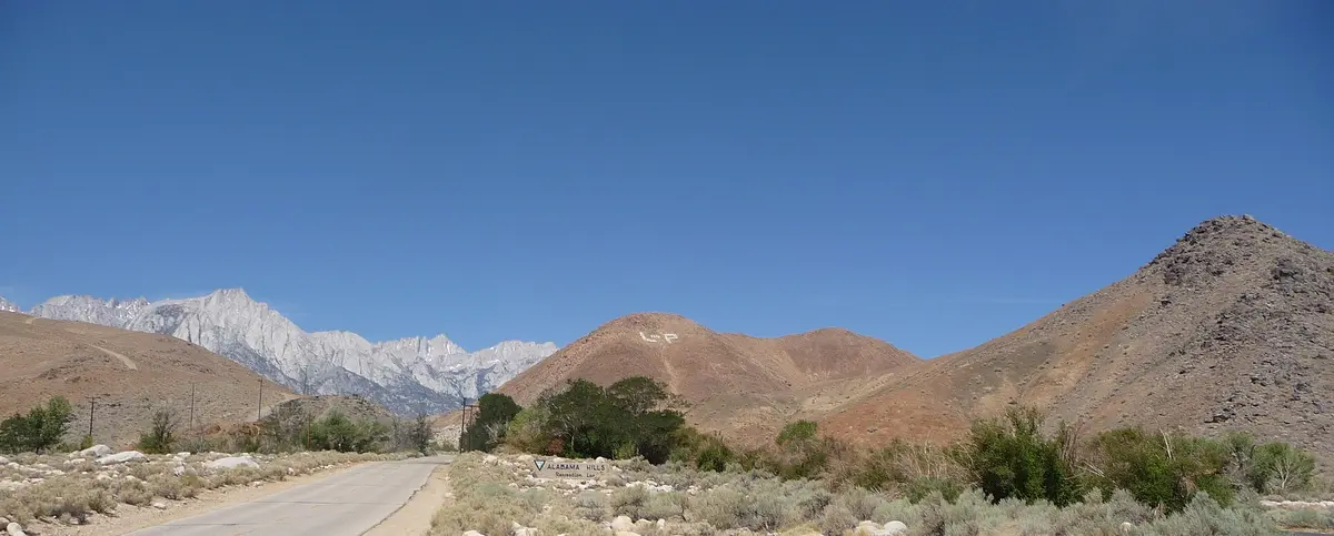
A three-day run down the Owens Valley, where US 395 runs between the 14,000-ft Sierra wall and the White Mountains. From Mammoth Lakes, start with Convict Lake, a deep alpine lake under Mount Morrison named for an 1871 posse shootout, then climb the side road to Rock Creek Lake on the edge of the John Muir Wilderness before descending to Bishop for the night. Day two heads south to Big Pine and turns east on SR 168 into the White Mountains to the Ancient Bristlecone Pine Forest, where trails near 10,000 ft wind among trees more than 4,000 years old, including the unmarked Methuselah. Back on 395, stop at Manzanar National Historic Site, the restored World War II incarceration camp with exhibits in the old auditorium, mess hall and barracks, then overnight in Lone Pine, home to a film history museum. Day three explores the rounded boulders and natural arches of the Alabama Hills, a backdrop for a century of Westerns, then climbs the Whitney Portal Road 13 miles to the 8,374-ft trailhead for Mount Whitney. Driving is modest; the high-elevation side trips are the highlights. Suggested overnights Day 1: overnight in Bishop Day 2: overnight in Lone Pine Best time to go: Mid-May to late fall, when the bristlecone forest and high side roads are open. Good to know • The Ancient Bristlecone Pine Forest is generally open mid-May through November, weather permitting; the visitor center sits near 9,850 ft. • Reach the Alabama Hills by turning west at the Lone Pine stoplight onto Whitney Portal Road, then right onto Movie Road after 2.5 miles. • Camping in the Alabama Hills requires a free permit and uses designated sites, first come, first served. • Whitney Portal sits at 8,374 ft, 13.7 miles west of Lone Pine at the end of Whitney Portal Road. Photo: Daniel Mayer (mav) / CC BY-SA 3.0 / Wikimedia Commons
Tips & questions (0)
Been on this trip, or have a question? Start the conversation.
Sign up free to ask a question or share a tip.
Planning a trip of your own?
Map your stops, share the plan with family and friends, and drive it with Stradena Nav. When you're back, post it publicly so others can enjoy it too.