
Great River Road Minnesota: Mississippi Headwaters to Minneapolis in 3 Days
Park Rapids, Minnesota · Shared by Nate R.
Something wrong with this trip? Sign in to report it.
Route
8 stops- S
Itasca State Park (Mississippi Headwaters)
Starting point
- 1
Bemidji
- 2
Cass Lake
- 3
Grand Rapids
- 4
Brainerd
- 5
Crow Wing State Park
- 6
Little Falls
- 7
St. Cloud
- 8
Stone Arch Bridge (Minneapolis)
About this trip
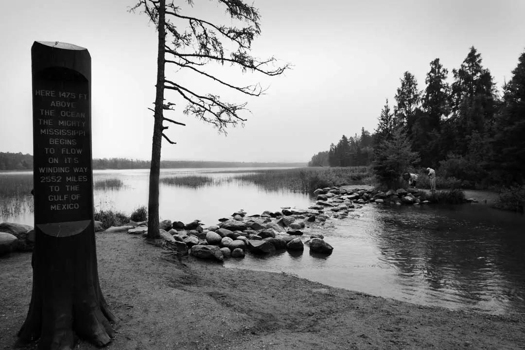
Follow the Mississippi from the spot where you can wade across it to the stone bridges of Minneapolis. Day 1 starts at Itasca State Park, Minnesota's oldest state park, where the river trickles out of Lake Itasca over a line of stepping stones near the Mary Gibbs Visitor Center; loop the park's old-growth pine forest on Wilderness Drive, then run the short stretch east to Bemidji on its namesake lake for the night. Day 2 tracks the young river through lake country, past Cass Lake and into Grand Rapids, a paper-mill town with a living-history logging camp at the Forest History Center, before heading south through the pines to Brainerd. Day 3 stops at Crow Wing State Park, where the Crow Wing River meets the Mississippi on the site of a vanished 19th-century fur-trade town, then Little Falls and Charles Lindbergh's boyhood home on the riverbank, St. Cloud's granite-built downtown, and finally the Stone Arch Bridge over St. Anthony Falls in Minneapolis. Follow the green pilot's-wheel Great River Road signs the whole way; driving is two to three hours a day, leaving plenty of time for lakeshore stops, and the northern woods are at their best in late September. Suggested overnights Day 1: overnight in Bemidji Day 2: overnight in Brainerd Best time to go: Late May to mid-October; late September brings peak fall color in the northern woods. Good to know • Itasca and Crow Wing are Minnesota state parks, so a vehicle permit (daily or annual) is required to drive in. • Arrive at the headwaters early on summer weekends; the parking near the Mary Gibbs Visitor Center fills by late morning. • The Great River Road is signed with a green pilot's-wheel marker; it changes highway numbers often, so watch for the signs at junctions. • Winters are long and snowy up north; outside summer, check road conditions before driving the park roads. Photo: Steve Evans from Citizen of the World / CC BY 2.0 / Wikimedia Commons
Tips & questions (0)
Been on this trip, or have a question? Start the conversation.
Sign up free to ask a question or share a tip.
Planning a trip of your own?
Map your stops, share the plan with family and friends, and drive it with Stradena Nav. When you're back, post it publicly so others can enjoy it too.