
Espinazo del Diablo (Mazatlán to Durango)
The Devil's Backbone: Mexico's legendary mountain switchback marathon
Route
4 stops- 1Start
Mazatlán
Fill up on the coast before heading inland
- 2Food
Concordia
Colonial town about an hour southeast of Mazatlán on the Durango road
- 3Fuel
El Salto
Logging town at ~2,580 m, past the Backbone
- 4Destination
Durango
State capital on the high plateau
About this drive
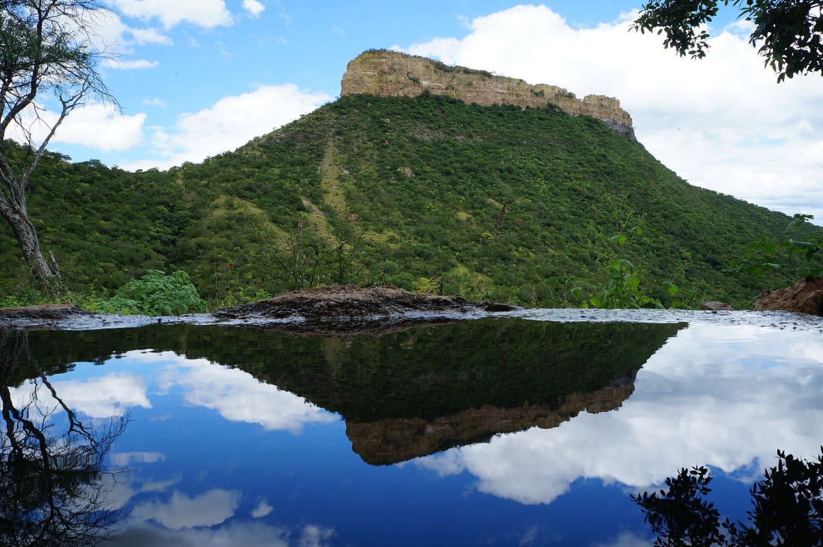
The old free Federal Highway 40 climbs from the Pacific shore at Mazatlán over the spine of the Sierra Madre Occidental to the Durango plateau. Since the 40D toll road opened in 2013, the libre route carries far less traffic and keeps its tight curves, sheer drop-offs and ridge-top vista near km 168, flanked by two deep ravines. Expect fog, possible winter ice and a crossing of 7 to 8 hours at a slow pace. Photo: Noé González-Gallegos / CC BY-SA 3.0 / Wikimedia Commons
Photos & videos
(0)Discussion
Know a great drive?
Help us build the most thoughtfully curated road map in the country. Map it and share it — our team reviews every drive.
Add a drive