
Devil's Whip (NC-80)
A climb of linked switchbacks from Lake Tahoma to the Blue Ridge Parkway
Route
2 stops- 1Start
Marion
8 North Main Street, Marion, North Carolina 28752, United States
Town on I-40 at the foot of the Blue Ridge.
- 2Destination
Burnsville
7 South Main Street, Burnsville, North Carolina 28714, United States
Mountain town below the Black Mountains and Mount Mitchell.
About this drive
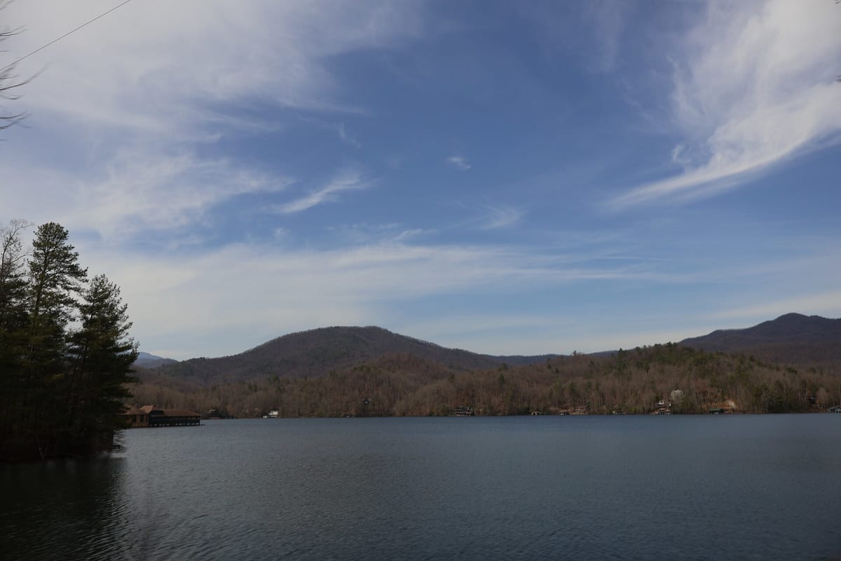
North Carolina Highway 80 between Marion and the Blue Ridge Parkway at Buck Creek Gap is known as the Devil's Whip. Past Lake Tahoma, it climbs the Blue Ridge Escarpment in a tight series of switchbacks — often quoted at nearly 200 curves in about a dozen miles — through dense forest along Buck Creek. Above the Parkway, NC-80 continues more gently through the South Toe River valley toward Burnsville, beneath Mount Mitchell, the highest peak east of the Mississippi. The pavement is good but the corners are tight, so take it at a measured pace. Cover photo: "Lake Tahoma seen from NC 80 2" by DiscoA340, CC BY-SA 4.0, via Wikimedia Commons (https://commons.wikimedia.org/wiki/File:Lake_Tahoma_seen_from_NC_80_2.jpg).
Photos & videos
(0)Discussion
Know a great drive?
Help us build the most thoughtfully curated road map in the country. Map it and share it — our team reviews every drive.
Add a drive