
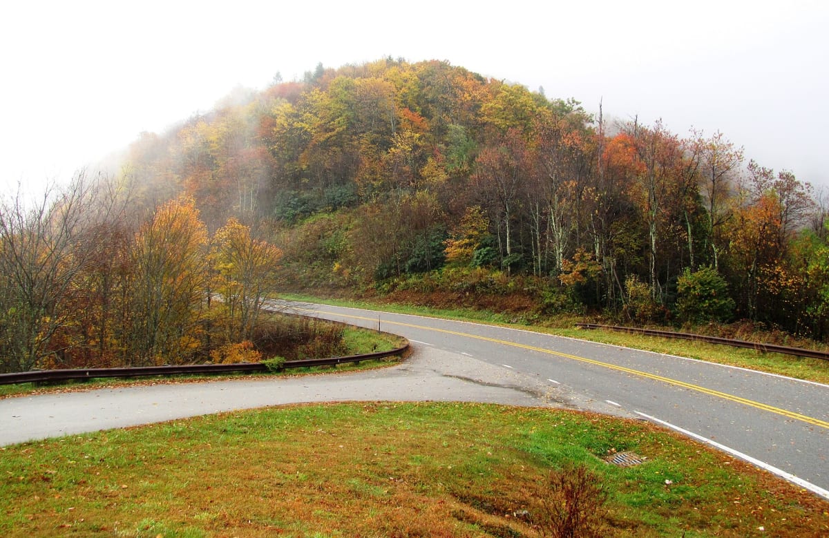
Cherohala Skyway
43 miles of high-mountain sweepers across the Tennessee–North Carolina line
Route
2 stops- 1Start
Tellico Plains, TN
111 Depot Street, Tellico Plains, Tennessee 37385, United States
Fuel and food at the Tennessee end. The Cherohala Skyway Visitor Center is right at the start of the route.
- 2Destination
Robbinsville, NC
15 North Main Street, Robbinsville, North Carolina 28771, United States
North Carolina end of the Skyway. A short hop from Deals Gap and the Tail of the Dragon.
About this drive
The Cherohala Skyway links Tellico Plains, Tennessee, with Robbinsville, North Carolina, climbing to over 5,400 feet through the Cherokee and Nantahala National Forests. Where its neighbor Tail of the Dragon is tight and technical, the Skyway is wide, fast, and flowing: long sweepers, open sightlines, and mile-high overlooks. There are no services for the full 43 miles, so fuel up at either end. Combine it with the Dragon (US-129) and Moonshiner 28 for one of the best driving loops in the East. Watch for fog at the higher elevations and wildlife at dawn and dusk. Cover photo: "Cherohala-skyway-fall-tn2" by Brian Stansberry, CC BY 3.0, via Wikimedia Commons (https://commons.wikimedia.org/wiki/File:Cherohala-skyway-fall-tn2.jpg).
Photos & videos
(0)Discussion
Know a great drive?
Help us build the most thoughtfully curated road map in the country. Map it and share it — our team reviews every drive.
Add a drive